Export Processing Zone · China

Siyang Economic Development Zone Active
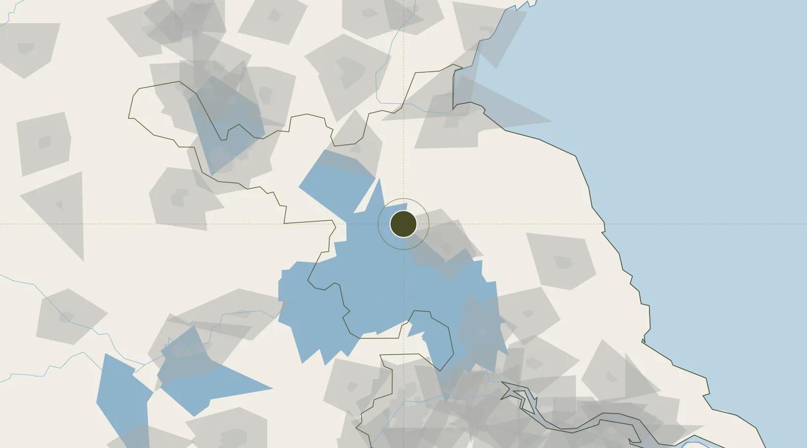
33.7230°, 118.7642°
2,200 ha
Zone area
128.8 km
Nearest port
34.4 km
Nearest airport

Gateway access

Nearest neighbours — logibook spatial index (haversine) over the source coordinates

Zone profile

Zone type
Export Processing Zone
Open Zone Map
Region
Jiangsu
Open Zone Map
Status
Active
Open Zone Map
Management
Public
Open Zone Map
Operator
Working Committee of Siyang Economic Development Zone
Open Zone Map
Legal framework
General Plan of Siyang Economic Development Zone (2015-2040)
Open Zone Map

Location

Location of ozm-1360
Natural Earth 10m (public domain) · Jiangsu · ozm-1360 · 33.72, 118.76GoogleOSMYandex

Nearby Logistics Neighbours

Ports
  1. 1Lianyungang129 km
  2. 2Lanshan161 km
  3. 3Yangzhou174 km
  4. 4Zhenjiang179 km
  5. 5Nanjing182 km
Nearest neighbours — logibook spatial index (haversine) over the source coordinates
Airports
  1. 1Huai'an Lianshui Airport34 km
  2. 2Lianyungang Huaguoshan International Airport86 km
  3. 3Xuzhou Guanyin International Airport118 km
  4. 4Yancheng Nanyang International Airport138 km
  5. 5Xuzhou Daguozhang Air Base151 km
Nearest neighbours — logibook spatial index (haversine) over the source coordinates
Cities
  1. 1Huaiyin25 km
  2. 2Zhangshan60 km
  3. 3Pizhou97 km
  4. 4Chizhou116 km
  5. 5Lianyungang124 km
Nearest neighbours — logibook spatial index (haversine) over the source coordinates
Trade Zones
  1. 1Huaiyin Industrial District35 km
  2. 2Qinghe Economic Development Zone38 km
  3. 3Liuzhou Yanghe Development Zone39 km
  4. 4Huaian Industrial Park40 km
  5. 5Huaian Industrial Park40 km
Nearest neighbours — logibook spatial index (haversine) over the source coordinates
DatabookThe Record of Consolidated Knowledge
China beyond logistics?
Browse databook

All Sources

Trade ZonesOpen Zone Map
CC BY
Portsthe NGA World Port Index
Public domain (US gov)
AirportsOurAirports
Public domain
LocationsUN/LOCODE
UN/LOCODE — free
← China trade zones