Transport Functions
Port
Road
Multimodal
Hub Profile
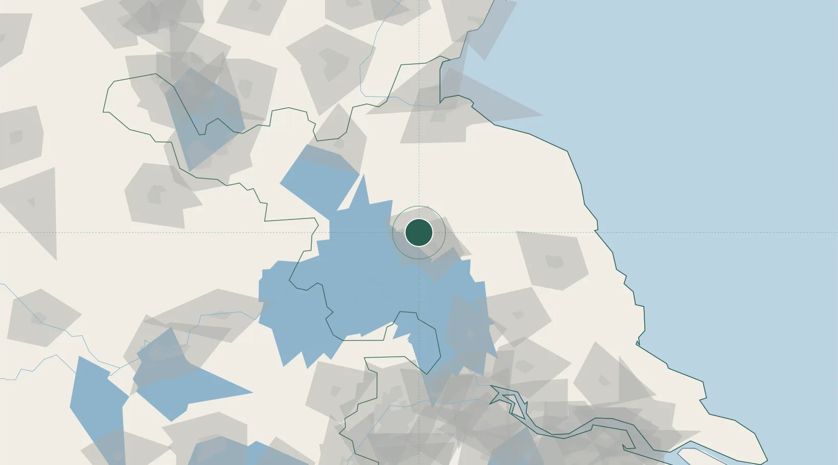
Place type
Populated place
Region
Jiangsu
Time zone
Asia/Shanghai
Elevation
29 m
Location
Nearby Logistics Neighbours
Cities
- 1Zhangshan84 km
- 2Yichang Pt103 km
- 3Sheyang115 km
- 4Sanya Pt115 km
- 5Pizhou121 km
Ports
- 1Lianyungang129 km
- 2Yangzhou157 km
- 3Zhenjiang162 km
- 4Lanshan164 km
- 5Gaogang169 km
Airports
Trade Zones
DatabookThe Record of Consolidated Knowledge
China beyond logistics?