Transport Functions
Port
Hub Profile
Place type
District seat
Region
Jiangsu
Population
343,421
Time zone
Asia/Shanghai
Elevation
25 m
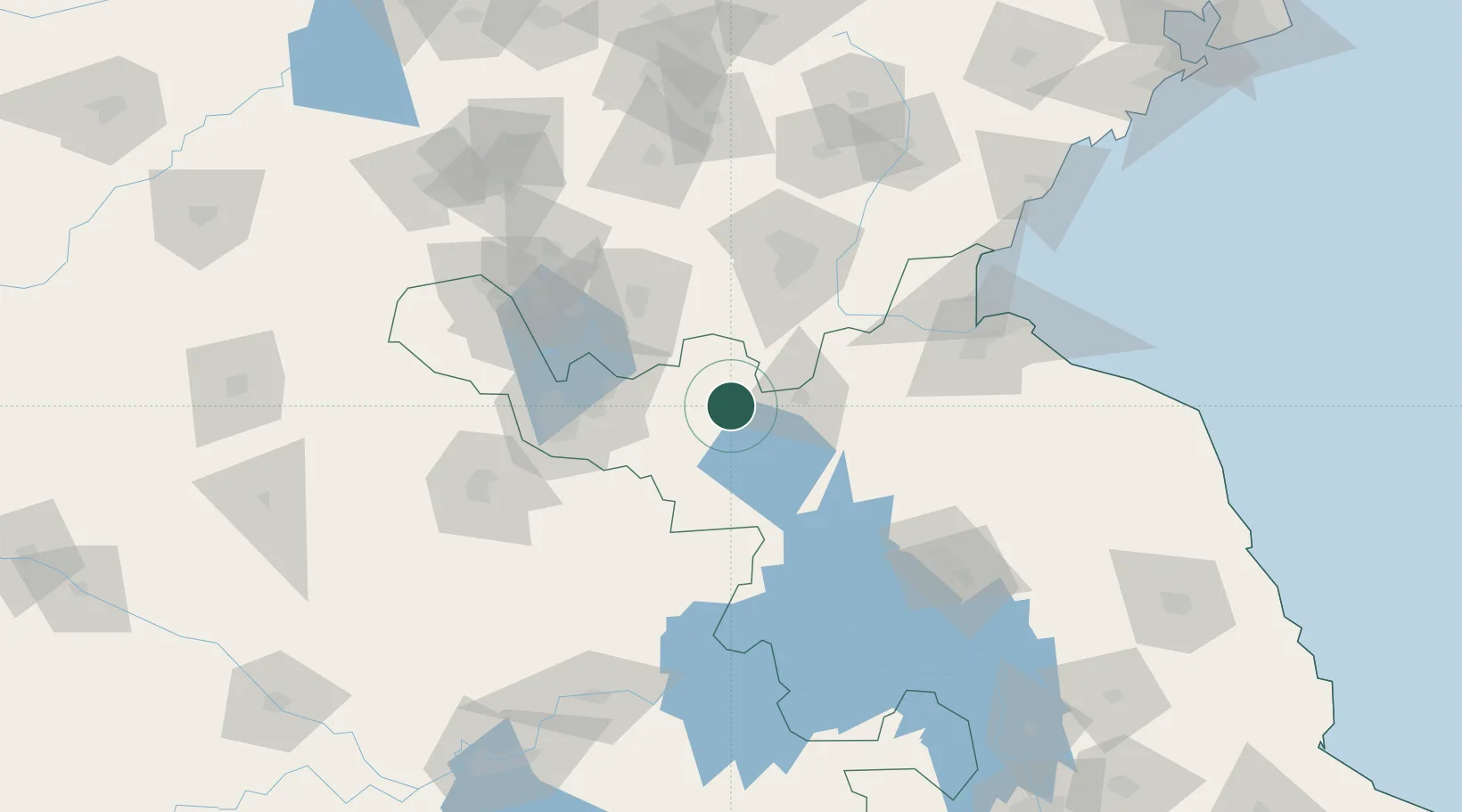
Location
Nearby Logistics Neighbours
Ports
- 1Lianyungang139 km
- 2Lanshan149 km
- 3Rizhao183 km
- 4Nanjing259 km
- 5Yangzhou265 km
Airports
DatabookThe Record of Consolidated Knowledge
China beyond logistics?