Diversified Zone · China

Huaian Industrial Park Active
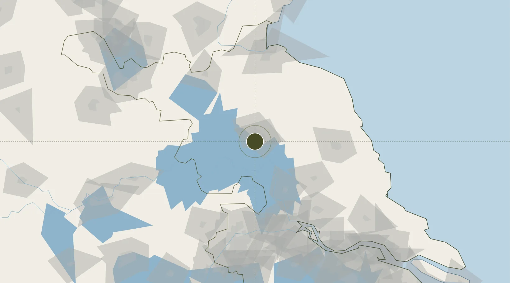
33.4481°, 119.0369°
5,800 ha
Zone area
136.5 km
Nearest port
39.2 km
Nearest airport

Gateway access

Nearest neighbours — logibook spatial index (haversine) over the source coordinates

Zone profile

Zone type
Diversified Zone
Open Zone Map
Region
Jiangsu
Open Zone Map
Status
Active
Open Zone Map
Management
Public
Open Zone Map
Operator
Huaian Industrial Park Management Committee
Open Zone Map
Legal framework
The provincial development zones established in 1995 enjoy the power of examination and approval at the municipal level
Open Zone Map

Location

Location of ozm-949
Natural Earth 10m (public domain) · Jiangsu · ozm-949 · 33.45, 119.04GoogleOSMYandex

Nearby Logistics Neighbours

Ports
  1. 1Yangzhou137 km
  2. 2Zhenjiang142 km
  3. 3Lianyungang148 km
  4. 4Gaogang150 km
  5. 5Nanjing154 km
Nearest neighbours — logibook spatial index (haversine) over the source coordinates
Airports
  1. 1Huai'an Lianshui Airport39 km
  2. 2Lianyungang Huaguoshan International Airport108 km
  3. 3Yancheng Nanyang International Airport109 km
  4. 4Yangzhou Taizhou Airport117 km
  5. 5Xuzhou Guanyin International Airport153 km
Nearest neighbours — logibook spatial index (haversine) over the source coordinates
Cities
  1. 1Huaiyin21 km
  2. 2Yichang Pt99 km
  3. 3Zhangshan100 km
  4. 4Sheyang118 km
  5. 5Sanya Pt118 km
Nearest neighbours — logibook spatial index (haversine) over the source coordinates
Trade Zones
  1. 1Huaian Industrial Park0 km
  2. 2Huaiyin Industrial District14 km
  3. 3Huai’an Hangzhou Export Processing Zone20 km
  4. 4Qinghe Economic Development Zone20 km
  5. 5Huaian Economic Development Zone28 km
Nearest neighbours — logibook spatial index (haversine) over the source coordinates
DatabookThe Record of Consolidated Knowledge
China beyond logistics?
Browse databook

All Sources

Trade ZonesOpen Zone Map
CC BY
Portsthe NGA World Port Index
Public domain (US gov)
AirportsOurAirports
Public domain
LocationsUN/LOCODE
UN/LOCODE — free
← China trade zones