Transport Functions
Port
Road
Hub Profile
Place type
Populated place
Region
Jiangsu
Time zone
Asia/Shanghai
Elevation
29 m
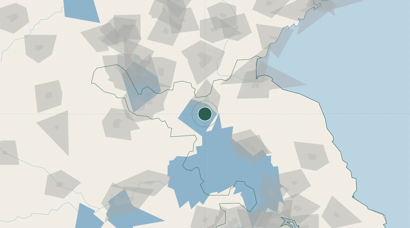
Location
Nearby Logistics Neighbours
Ports
- 1Lianyungang125 km
- 2Lanshan144 km
- 3Rizhao181 km
- 4Nanjing230 km
- 5Yangzhou231 km
Airports
DatabookThe Record of Consolidated Knowledge
China beyond logistics?