Export Processing Zone · China

Haidong Mutual Aid Green Industrial Park Active
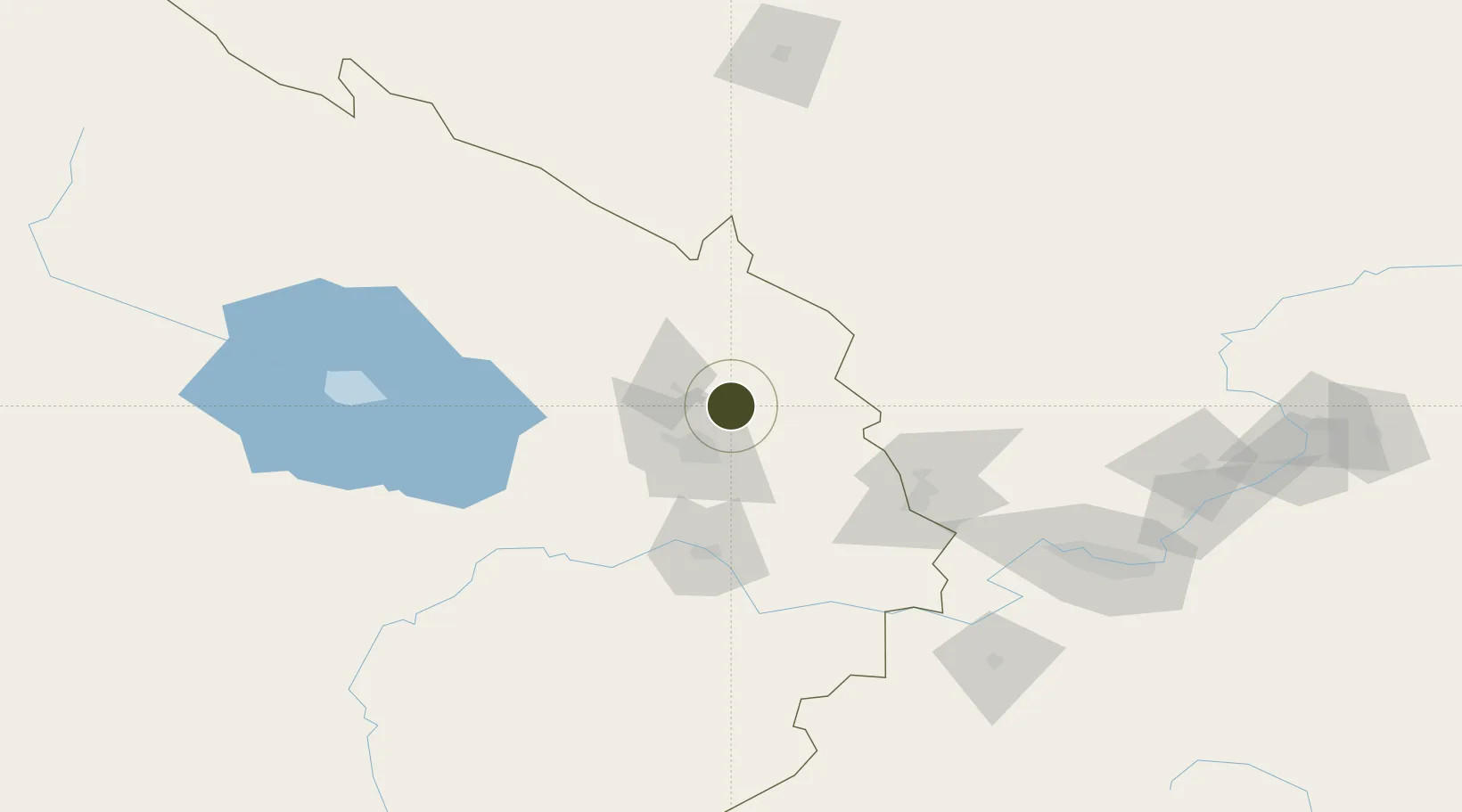
36.8242°, 101.9625°
2,000 ha
Zone area
1,332.7 km
Nearest port
33.7 km
Nearest airport

Gateway access

Nearest neighbours — logibook spatial index (haversine) over the source coordinates

Zone profile

Zone type
Export Processing Zone
Open Zone Map
Region
Qinghai
Open Zone Map
Status
Active
Open Zone Map
Management
Public
Open Zone Map
Operator
Working Committee of Haidong Mutual Aid Green Industrial Park
Open Zone Map
Legal framework
Haidong Industrial Park Mutual Green Industrial Park Introduction
Open Zone Map

Location

Location of ozm-1348
Natural Earth 10m (public domain) · Qinghai · ozm-1348 · 36.82, 101.96GoogleOSMYandex

Nearby Logistics Neighbours

Ports
  1. 1Hankow1333 km
  2. 2Tianjin Xin Gang1411 km
  3. 3Fang-Cheng1786 km
  4. 4Qinzhou1795 km
  5. 5Hai Phong1827 km
Nearest neighbours — logibook spatial index (haversine) over the source coordinates
Airports
  1. 1Xining Caojiabao International Airport34 km
  2. 2Wuwei Air Base140 km
  3. 3Gonghe Air Base143 km
  4. 4Lanzhou Zhongchuan International Airport152 km
  5. 5Haibei Qilian Airport176 km
Nearest neighbours — logibook spatial index (haversine) over the source coordinates
Cities
  1. 1Qiaotou26 km
  2. 2Gaolan185 km
  3. 3Lanzhou189 km
  4. 4Bayin202 km
  5. 5Dingxi276 km
Nearest neighbours — logibook spatial index (haversine) over the source coordinates
Trade Zones
  1. 1Ganhe Industrial Park45 km
  2. 2Haibei Prefecture Biological Park71 km
  3. 3Wuwei Tianzhu Jinqiang Industrial Concentration Zone91 km
  4. 4Minhe Industrial Park109 km
  5. 5Wuwei Gulang Industrial Concentration Zone135 km
Nearest neighbours — logibook spatial index (haversine) over the source coordinates
DatabookThe Record of Consolidated Knowledge
China beyond logistics?
Browse databook

All Sources

Trade ZonesOpen Zone Map
CC BY
Portsthe NGA World Port Index
Public domain (US gov)
AirportsOurAirports
Public domain
LocationsUN/LOCODE
UN/LOCODE — free
← China trade zones