Diversified Zone · China

Ganhe Industrial Park Active
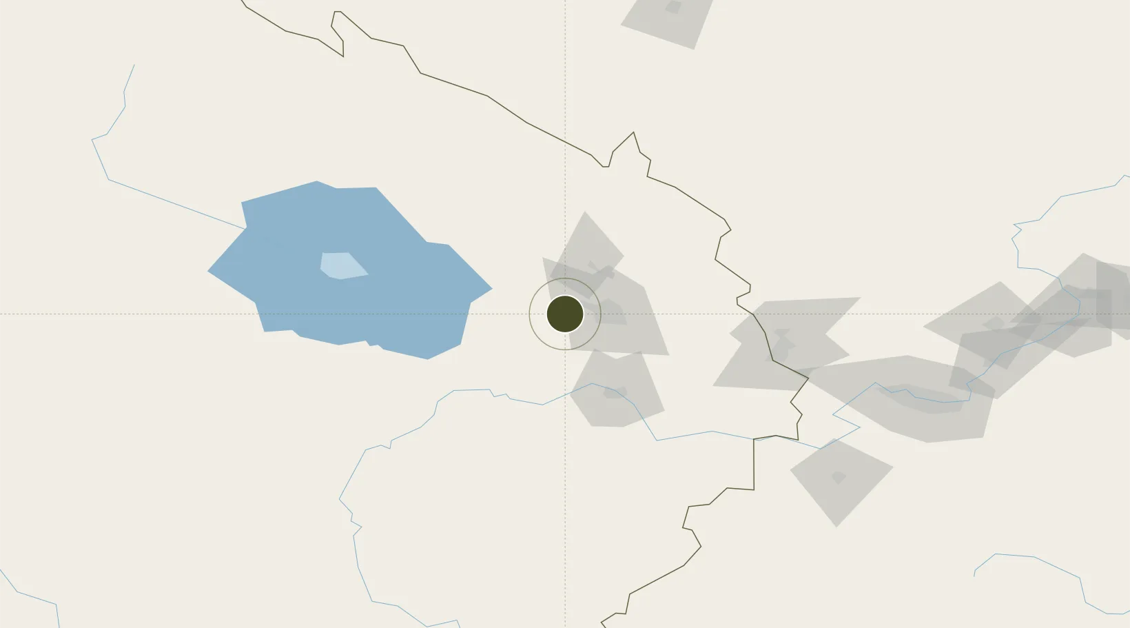
36.6134°, 101.5315°
1,000 ha
Zone area
1,356.4 km
Nearest port
46.4 km
Nearest airport

Gateway access

Nearest neighbours — logibook spatial index (haversine) over the source coordinates

Zone profile

Zone type
Diversified Zone
Open Zone Map
Region
Qinghai
Open Zone Map
Status
Active
Open Zone Map
Management
Public
Open Zone Map
Operator
Management Committee of Xining Economic and Technological Development Zone
Open Zone Map
Legal framework
It was established in July 2002
Open Zone Map

Location

Location of ozm-684
Natural Earth 10m (public domain) · Qinghai · ozm-684 · 36.61, 101.53GoogleOSMYandex

Nearby Logistics Neighbours

Ports
  1. 1Hankow1356 km
  2. 2Tianjin Xin Gang1454 km
  3. 3Fang-Cheng1779 km
  4. 4Qinzhou1789 km
  5. 5Hai Phong1815 km
Nearest neighbours — logibook spatial index (haversine) over the source coordinates
Airports
  1. 1Xining Caojiabao International Airport46 km
  2. 2Gonghe Air Base99 km
  3. 3Haibei Qilian Airport174 km
  4. 4Wuwei Air Base178 km
  5. 5Lanzhou Zhongchuan International Airport187 km
Nearest neighbours — logibook spatial index (haversine) over the source coordinates
Cities
  1. 1Qiaotou39 km
  2. 2Lanzhou216 km
  3. 3Gaolan217 km
  4. 4Bayin238 km
  5. 5Dingxi301 km
Nearest neighbours — logibook spatial index (haversine) over the source coordinates
Trade Zones
  1. 1Haidong Mutual Aid Green Industrial Park45 km
  2. 2Haibei Prefecture Biological Park85 km
  3. 3Minhe Industrial Park134 km
  4. 4Wuwei Tianzhu Jinqiang Industrial Concentration Zone135 km
  5. 5Hot Water Coal Industry Park146 km
Nearest neighbours — logibook spatial index (haversine) over the source coordinates
DatabookThe Record of Consolidated Knowledge
China beyond logistics?
Browse databook

All Sources

Trade ZonesOpen Zone Map
CC BY
Portsthe NGA World Port Index
Public domain (US gov)
AirportsOurAirports
Public domain
LocationsUN/LOCODE
UN/LOCODE — free
← China trade zones