Transport Functions
Port
Hub Profile
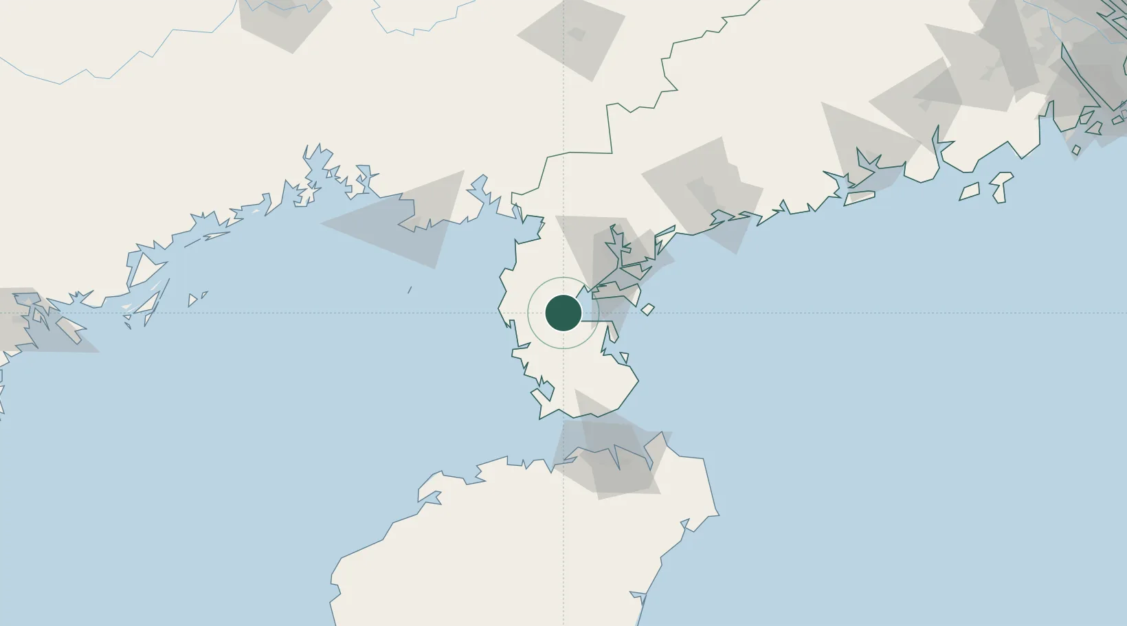
Place type
Populated place
Region
Guangdong
Time zone
Asia/Shanghai
Elevation
8 m
Location
Nearby Logistics Neighbours
Cities
- 1Dongguo28 km
- 2Chikan49 km
- 3Zhanjiang Pt49 km
- 4Naozhou54 km
- 5Beitan55 km
Airports
- 1Suixi Air Base57 km
- 2Zhanjiang Wuchuan International Airport84 km
- 3Beihai Fucheng Airport107 km
- 4Haikou Meilan International Airport115 km
- 5Jialaishi Air Base138 km
DatabookThe Record of Consolidated Knowledge
China beyond logistics?