UN/LOCODE hub · China
CNSXB

Beitan

21.3667°, 110.2500°
1
Transport functions

Transport Functions

Port
UN/LOCODE

Hub Profile

Place type
Populated place
GeoNames
Region
Guangdong
GeoNames
Time zone
Asia/Shanghai
GeoNames
Elevation
6 m
GeoNames

Location

Location of CNSXB
Natural Earth 10m (public domain) · Guangdong · CNSXB · 21.37, 110.25GoogleOSMYandex

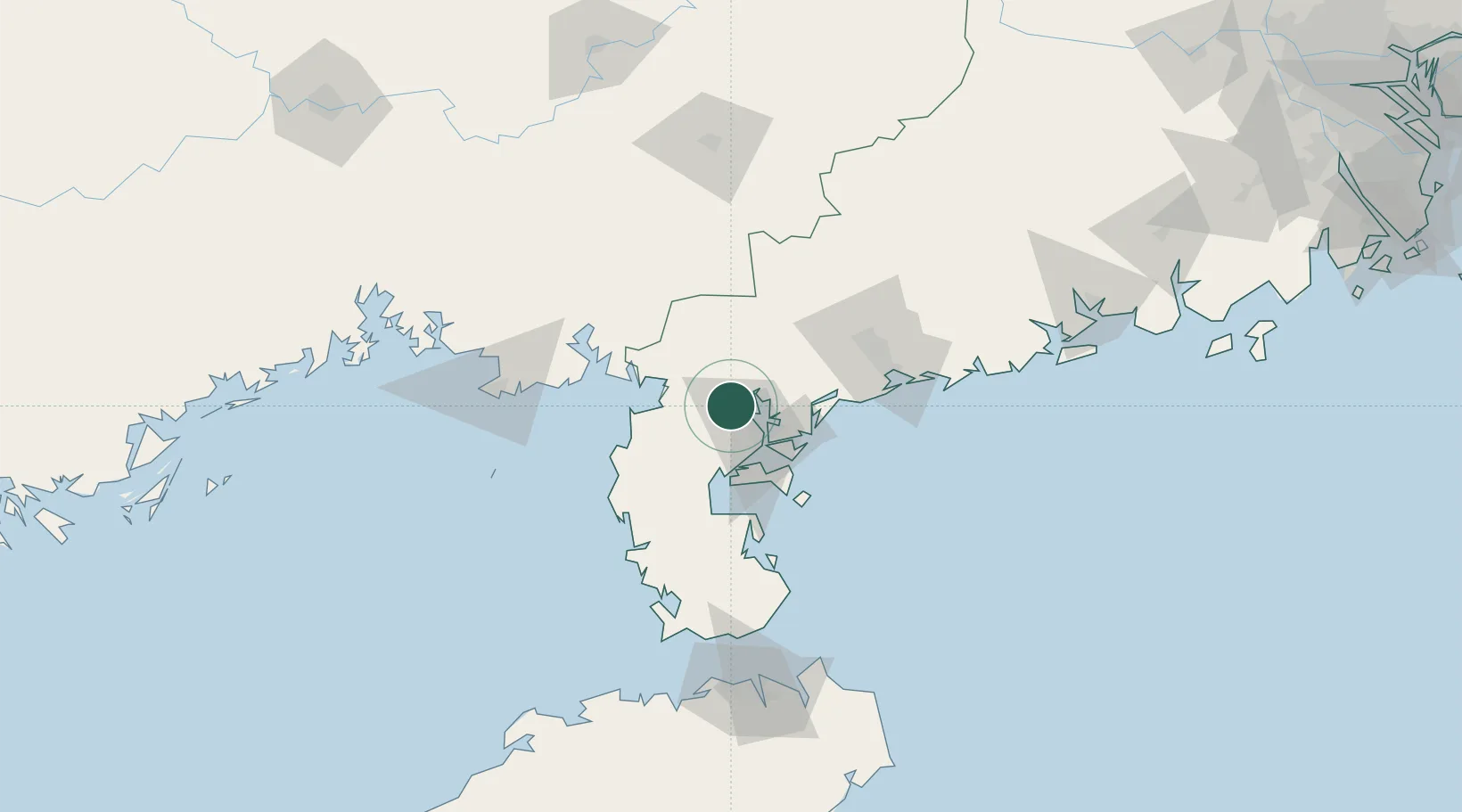
Nearby Logistics Neighbours

Cities
  1. 1Chikan14 km
  2. 2Liancheng28 km
  3. 3Yingzai28 km
  4. 4Zhanjiang Pt41 km
  5. 5Anpu43 km
Nearest neighbours — logibook spatial index (haversine) over the source coordinates
Ports
  1. 1Zhanjiang24 km
  2. 2Shui Dong87 km
  3. 3Beihai123 km
  4. 4Haikou146 km
  5. 5Chiwan157 km
Nearest neighbours — logibook spatial index (haversine) over the source coordinates
Airports
  1. 1Suixi Air Base6 km
  2. 2Zhanjiang Wuchuan International Airport38 km
  3. 3Beihai Fucheng Airport101 km
  4. 4Yulin Fumian Airport119 km
  5. 5Haikou Meilan International Airport161 km
Nearest neighbours — logibook spatial index (haversine) over the source coordinates
DatabookThe Record of Consolidated Knowledge
China beyond logistics?
Browse databook

All Sources

LocationsUN/LOCODE
UN/LOCODE — free
Portsthe NGA World Port Index
Public domain (US gov)
AirportsOurAirports
Public domain
Trade Zonesthe World Bank SEZ database
CC BY 4.0
Trade ZonesOpen Zone Map
CC BY
← China locations