Transport Functions
Port
Hub Profile
Place type
Populated place
Region
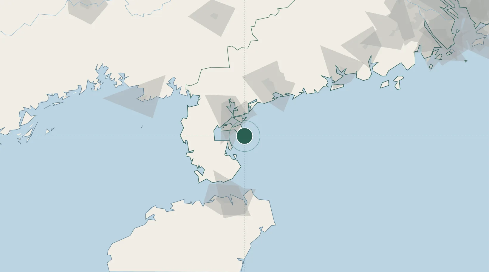
Guangdong
Time zone
Asia/Shanghai
Elevation
12 m
Location
Nearby Logistics Neighbours
Cities
- 1Zhanjiang Pt21 km
- 2Chikan47 km
- 3Dongguo52 km
- 4Liusha54 km
- 5Beitan61 km
Airports
- 1Zhanjiang Wuchuan International Airport63 km
- 2Suixi Air Base67 km
- 3Haikou Meilan International Airport110 km
- 4Beihai Fucheng Airport151 km
- 5Jialaishi Air Base162 km
DatabookThe Record of Consolidated Knowledge
China beyond logistics?