Export Processing Zone · China

Zixing Economic Development Zone Active
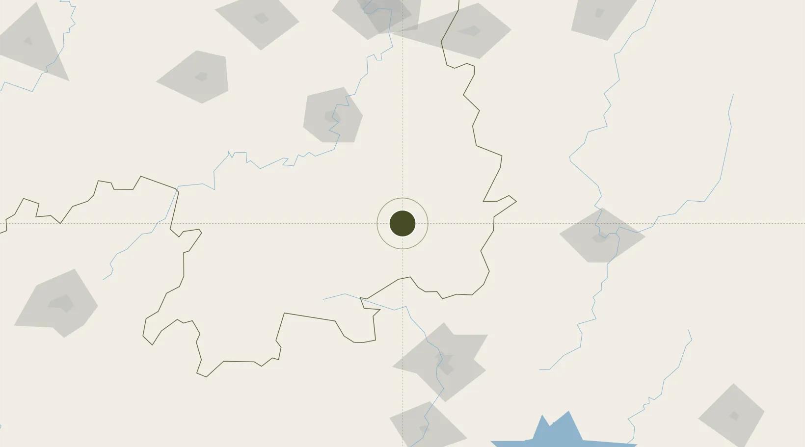
25.9787°, 113.2232°
670 ha
Zone area
318.2 km
Nearest port
45.3 km
Nearest airport

Gateway access

Nearest neighbours — logibook spatial index (haversine) over the source coordinates

Zone profile

Zone type
Export Processing Zone
Open Zone Map
Region
Hunan
Open Zone Map
Status
Active
Open Zone Map
Management
Public
Open Zone Map
Operator
Zixing Economic Development Zone Management Committee
Open Zone Map
Legal framework
Provincial development zone approved by Hunan Provincial People's Government in 1992
Open Zone Map

Location

Location of ozm-1198
Natural Earth 10m (public domain) · Hunan · ozm-1198 · 25.98, 113.22GoogleOSMYandex

Nearby Logistics Neighbours

Ports
  1. 1Guangzhou318 km
  2. 2Huangpu323 km
  3. 3Huangpuxingang327 km
  4. 4Huizhou386 km
  5. 5Yantian392 km
Nearest neighbours — logibook spatial index (haversine) over the source coordinates
Airports
  1. 1Chenzhou Beihu Airport45 km
  2. 2Leiyang Air Base75 km
  3. 3Hengyang Nanyue Airport102 km
  4. 4Shaoguan Danxia Airport113 km
  5. 5Xincheng Air Base148 km
Nearest neighbours — logibook spatial index (haversine) over the source coordinates
Cities
  1. 1Longhai54 km
  2. 2Hengyang117 km
  3. 3Shaoguan New Pt137 km
  4. 4Kaiyun144 km
  5. 5Lianzhou161 km
Nearest neighbours — logibook spatial index (haversine) over the source coordinates
Trade Zones
  1. 1Yongxing Economic Development Zone18 km
  2. 2Guanyang County Industrial Concentration Zone58 km
  3. 3Leiyang Economic Development Zone61 km
  4. 4Yizhang Economic Development Zone70 km
  5. 5Guidong Industrial Concentration Zone73 km
Nearest neighbours — logibook spatial index (haversine) over the source coordinates
DatabookThe Record of Consolidated Knowledge
China beyond logistics?
Browse databook

All Sources

Trade ZonesOpen Zone Map
CC BY
Portsthe NGA World Port Index
Public domain (US gov)
AirportsOurAirports
Public domain
LocationsUN/LOCODE
UN/LOCODE — free
← China trade zones