Transport Functions
Rail
Road
Multimodal
Hub Profile
Place type
Provincial seat
Region
Zhejiang
Population
1,463,990
Time zone
Asia/Shanghai
Elevation
55 m
Logistics facilities
1
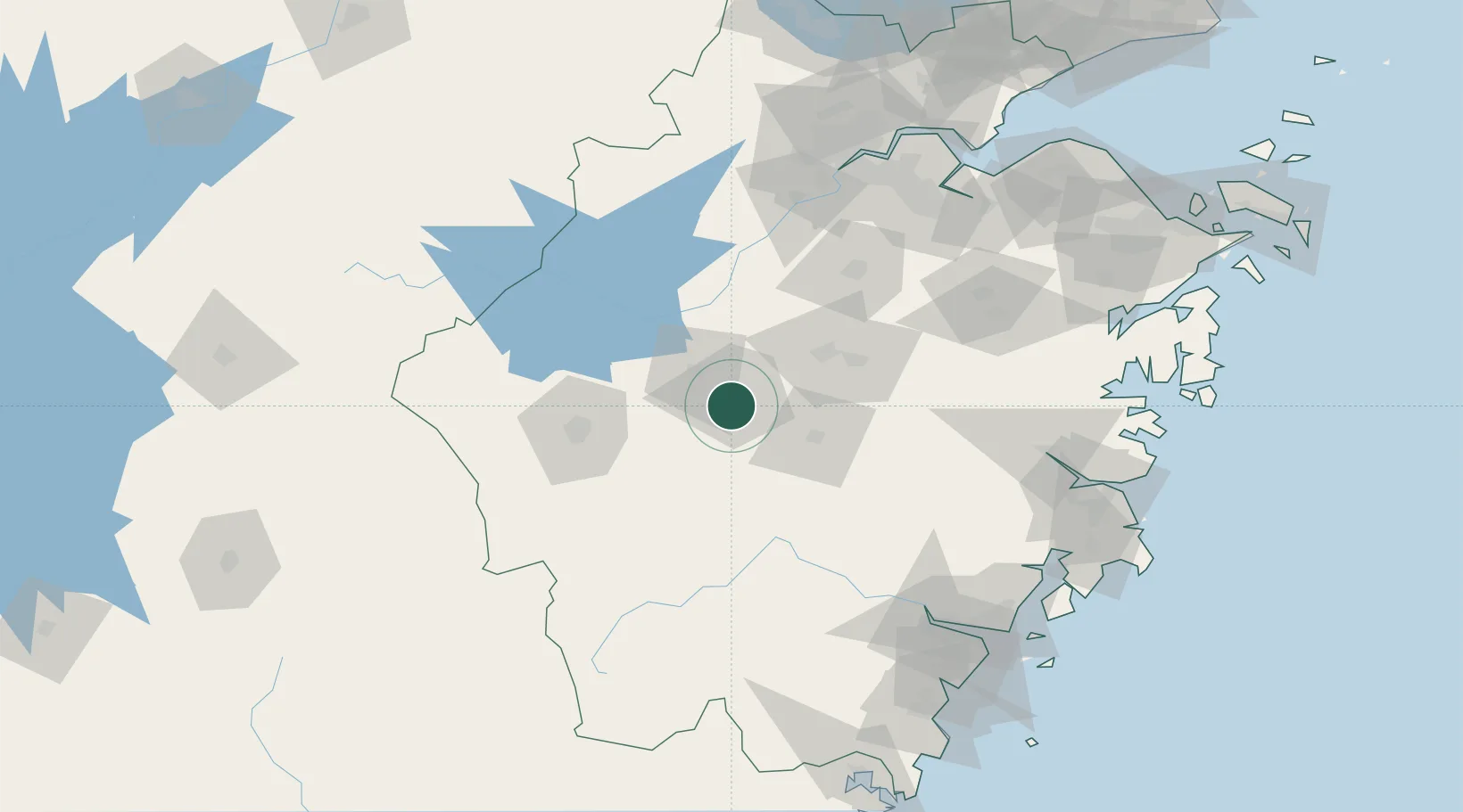
Location
Nearby Logistics Neighbours
Airports
- 1Yiwu Airport49 km
- 2Jiande Qiandaohu General Airport55 km
- 3Quzhou Airport73 km
- 4Hangzhou Xiaoshan International Airport151 km
- 5Hangzhou Jianqiao Airport153 km
DatabookThe Record of Consolidated Knowledge
China beyond logistics?