Transport Functions
Multimodal
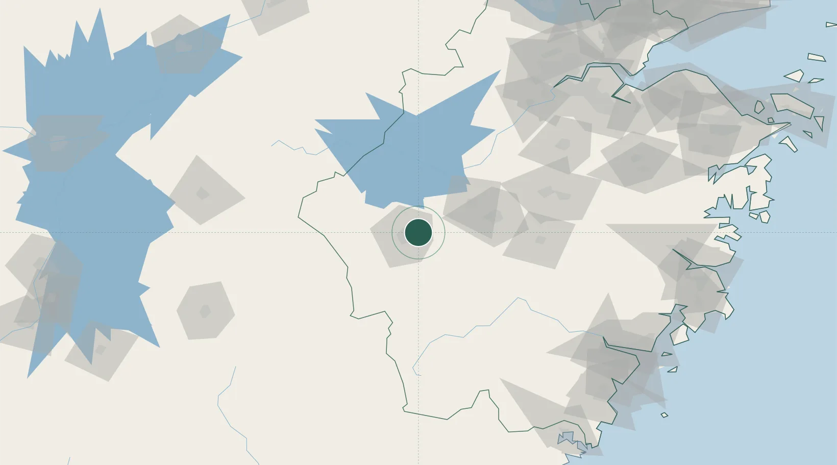
Hub Profile
Place type
Populated place
Region
Zhejiang
Population
902,767
Time zone
Asia/Shanghai
Elevation
77 m
Logistics facilities
1
Location
Nearby Logistics Neighbours
Airports
- 1Quzhou Airport12 km
- 2Jiande Qiandaohu General Airport45 km
- 3Yiwu Airport106 km
- 4Huangshan Tunxi International Airport111 km
- 5Shangrao Sanqingshan Airport123 km
DatabookThe Record of Consolidated Knowledge
China beyond logistics?