Industrial Zone · Vietnam

Nhon Trach Ii - Nhon Phu Industrial Park
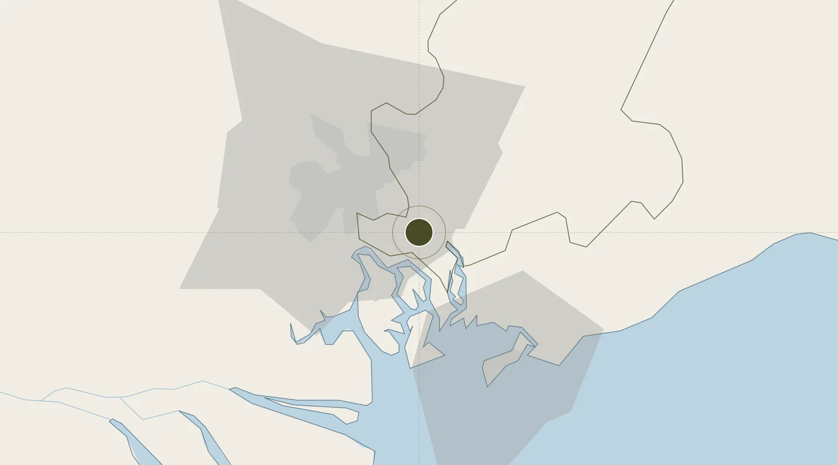
10.7218°, 106.9112°
184 ha
Zone area
14.3 km
Nearest port
15.2 km
Nearest airport

Gateway access

Nearest neighbours — logibook spatial index (haversine) over the source coordinates

Zone profile

Zone type
Industrial Zone
the World Bank SEZ database
Region
Đông Nam Bộ
the World Bank SEZ database
Established
2005
the World Bank SEZ database
Management
Private management
the World Bank SEZ database
Operator
Thao Dien Real Estate Co. Ltd.
the World Bank SEZ database
Regulatory authority
Chairmen of Provincial People's Committees
the World Bank SEZ database
Legal framework
Law on Foreign Investment in Vietnam, 1996; Decree No. 36/1997/CP on The Regulation of Industrial, Economic and Export processing zones
the World Bank SEZ database

Location

Location of VNM390
Natural Earth 10m (public domain) · Đông Nam Bộ · VNM390 · 10.72, 106.91GoogleOSMYandex

Fiscal & incentives

Corporate tax
20%
the World Bank SEZ database
Tax relief
100% exempt
the World Bank SEZ database
Relief duration
4 years
the World Bank SEZ database
VAT
No exemption
the World Bank SEZ database
Import duty (inputs)
0% exempt
the World Bank SEZ database
Import duty (capex)
100% exempt
the World Bank SEZ database
Profit repatriation
No exemption
the World Bank SEZ database
Capital gains
No exemption
the World Bank SEZ database
Withholding tax
No exemption
the World Bank SEZ database
Min. investment
None
the World Bank SEZ database
Min. export
0%
the World Bank SEZ database
Employment incentive
No exemption
the World Bank SEZ database
Developer incentive
No established framework
the World Bank SEZ database

Nearby Logistics Neighbours

Ports
  1. 1Cat Lai14 km
  2. 2Thanh Hoa19 km
  3. 3Phu My20 km
  4. 4Thanh Ho Chi Minh22 km
  5. 5Vung Tau48 km
Nearest neighbours — logibook spatial index (haversine) over the source coordinates
Airports
  1. 1Long Thanh International Airport (Under Construction)15 km
  2. 2Tan Son Nhat International Airport30 km
  3. 3Can Tho International Airport149 km
  4. 4Lien Khuong Airport196 km
  5. 5Rach Gia Airport212 km
Nearest neighbours — logibook spatial index (haversine) over the source coordinates
Cities
  1. 1Nhon Trach6 km
  2. 2Long Thanh8 km
  3. 3Go Dau A Terminal14 km
  4. 4Saigon Petro Oil Terminal14 km
  5. 5Cát Lái16 km
Nearest neighbours — logibook spatial index (haversine) over the source coordinates
Trade Zones
  1. 1Nhon Trach V Industrial Park2 km
  2. 2Nhon Trach Textile Industrial Park (Vinatex - Tan Tao)2 km
  3. 3Nhon Trach Ii Industrial Park2 km
  4. 4Nhon Trach I Industrial Park3 km
  5. 5Nhon Trach Iii Industrial Park4 km
Nearest neighbours — logibook spatial index (haversine) over the source coordinates
DatabookThe Record of Consolidated Knowledge
Vietnam beyond logistics?
Browse databook

All Sources

Trade Zonesthe World Bank SEZ database
CC BY 4.0
Portsthe NGA World Port Index
Public domain (US gov)
AirportsOurAirports
Public domain
LocationsUN/LOCODE
UN/LOCODE — free
← Vietnam trade zones