Transport Functions
Port
Road
Hub Profile
Place type
Populated place
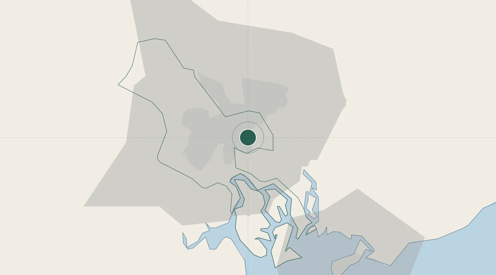
Region
Dong Nai
Time zone
Asia/Ho_Chi_Minh
Elevation
5 m
Logistics facilities
2
Location
Nearby Logistics Neighbours
Cities
- 1Ho Chi Minh City2 km
- 2Phuóc Long3 km
- 3ICD Sotrans5 km
- 4Phuoc Long ICD6 km
- 5Sai Gon Port6 km
Ports
- 1Thanh Hoa4 km
- 2Thanh Ho Chi Minh10 km
- 3Phu My36 km
- 4Vung Tau62 km
- 5Vinh Cam Ranh285 km
Airports
Trade Zones
DatabookThe Record of Consolidated Knowledge
Vietnam beyond logistics?