General Industrial Estate · Thailand

Amata Nakorn Industrial Estate Active
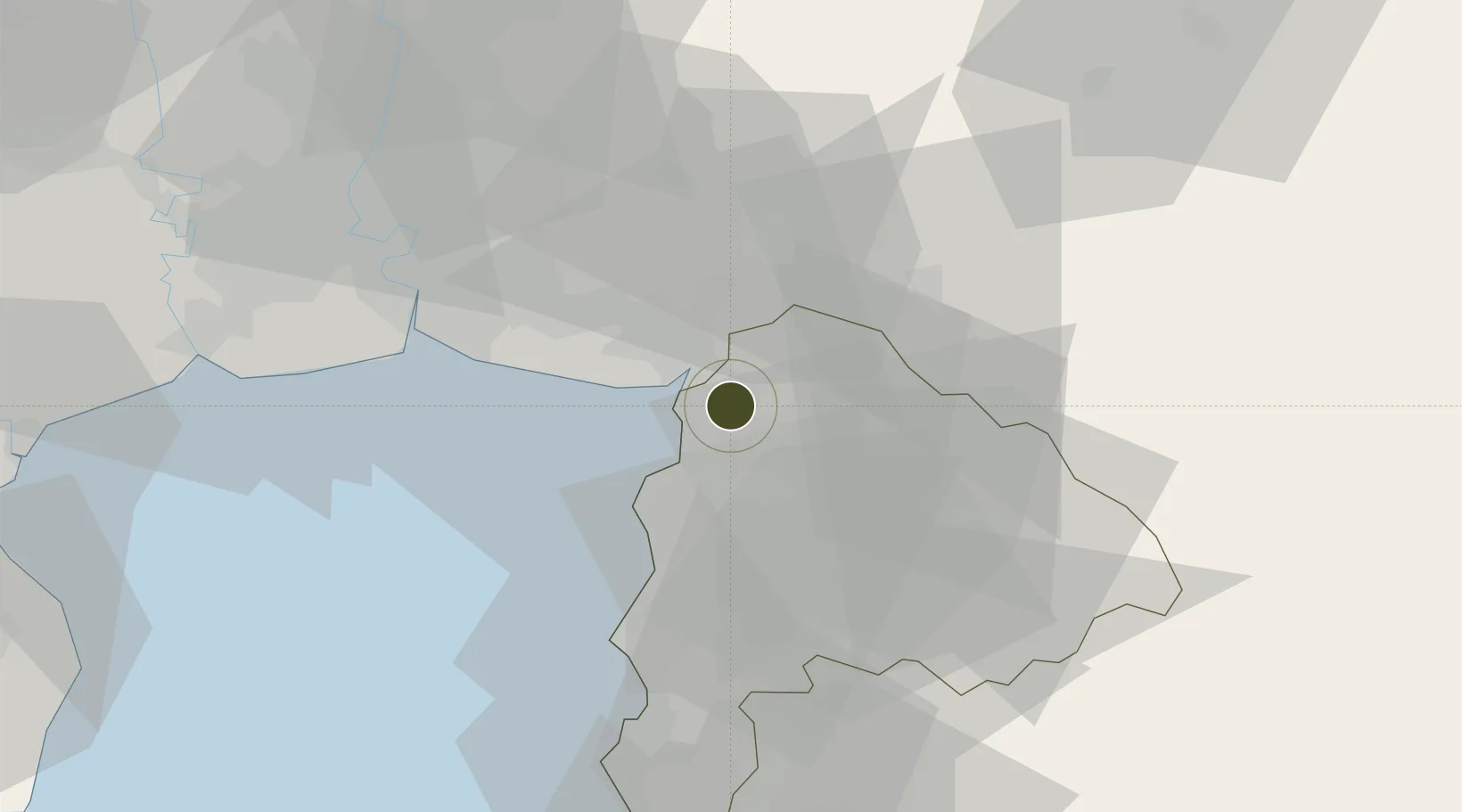
13.4416°, 101.0561°
1,605 ha
Zone area
34.1 km
Nearest port
42.7 km
Nearest airport

Gateway access

Nearest neighbours — logibook spatial index (haversine) over the source coordinates

Zone profile

Zone type
General Industrial Estate
the World Bank SEZ database
Region
Chon Buri
the World Bank SEZ database
Status
Active
the World Bank SEZ database
Established
1989
the World Bank SEZ database
Management
PPP
the World Bank SEZ database
Operator
Industrial Estate Authority of Thailand and Amata Corporation Public Company Limited
the World Bank SEZ database
Regulatory authority
Industrial Estate Authority of Thailand
the World Bank SEZ database
Legal framework
Industrial Estate Authority of Thailand Act
the World Bank SEZ database

Location

Location of THA34
Natural Earth 10m (public domain) · Chon Buri · THA34 · 13.44, 101.06GoogleOSMYandex

Fiscal & incentives

Corporate tax
20%
the World Bank SEZ database
Tax relief
No exemption
the World Bank SEZ database
Relief duration
No exemption
the World Bank SEZ database
VAT
No exemption
the World Bank SEZ database
Import duty (inputs)
0% exempt
the World Bank SEZ database
Import duty (capex)
0% exempt
the World Bank SEZ database
Profit repatriation
No exemption
the World Bank SEZ database
Capital gains
No exemption
the World Bank SEZ database
Withholding tax
No exemption
the World Bank SEZ database
Min. investment
None
the World Bank SEZ database
Min. export
0%
the World Bank SEZ database
Employment incentive
No exemption
the World Bank SEZ database
Developer incentive
No established framework
the World Bank SEZ database

Nearby Logistics Neighbours

Ports
  1. 1Si Racha Terminal34 km
  2. 2Siam Seaport39 km
  3. 3Ko Si Chang Terminal40 km
  4. 4Laem Chabang44 km
  5. 5Bangkok69 km
Nearest neighbours — logibook spatial index (haversine) over the source coordinates
Airports
  1. 1Suvarnabhumi Airport43 km
  2. 2Don Mueang International Airport71 km
  3. 3U-Tapao–Rayong–Pattaya International Airport85 km
  4. 4Kamphaeng Saen Airport143 km
  5. 5Hua Hin Airport150 km
Nearest neighbours — logibook spatial index (haversine) over the source coordinates
Cities
  1. 1Bangpakong Terminal8 km
  2. 2Si Racha36 km
  3. 3NH Prosperity40 km
  4. 4Laem Chabang41 km
  5. 5Ko Sichang43 km
Nearest neighbours — logibook spatial index (haversine) over the source coordinates
Trade Zones
  1. 1TFD Industrial Estate16 km
  2. 2Wellgrow Industrial Estate20 km
  3. 3Asia Industrial Estate Suvarnabhumi30 km
  4. 4Bangkok Free Trade Zone33 km
  5. 5Pinthong Industrial Estate Pip 236 km
Nearest neighbours — logibook spatial index (haversine) over the source coordinates
DatabookThe Record of Consolidated Knowledge
Thailand beyond logistics?
Browse databook

All Sources

Trade Zonesthe World Bank SEZ database
CC BY 4.0
Portsthe NGA World Port Index
Public domain (US gov)
AirportsOurAirports
Public domain
LocationsUN/LOCODE
UN/LOCODE — free
← Thailand trade zones