Transport Functions
Port
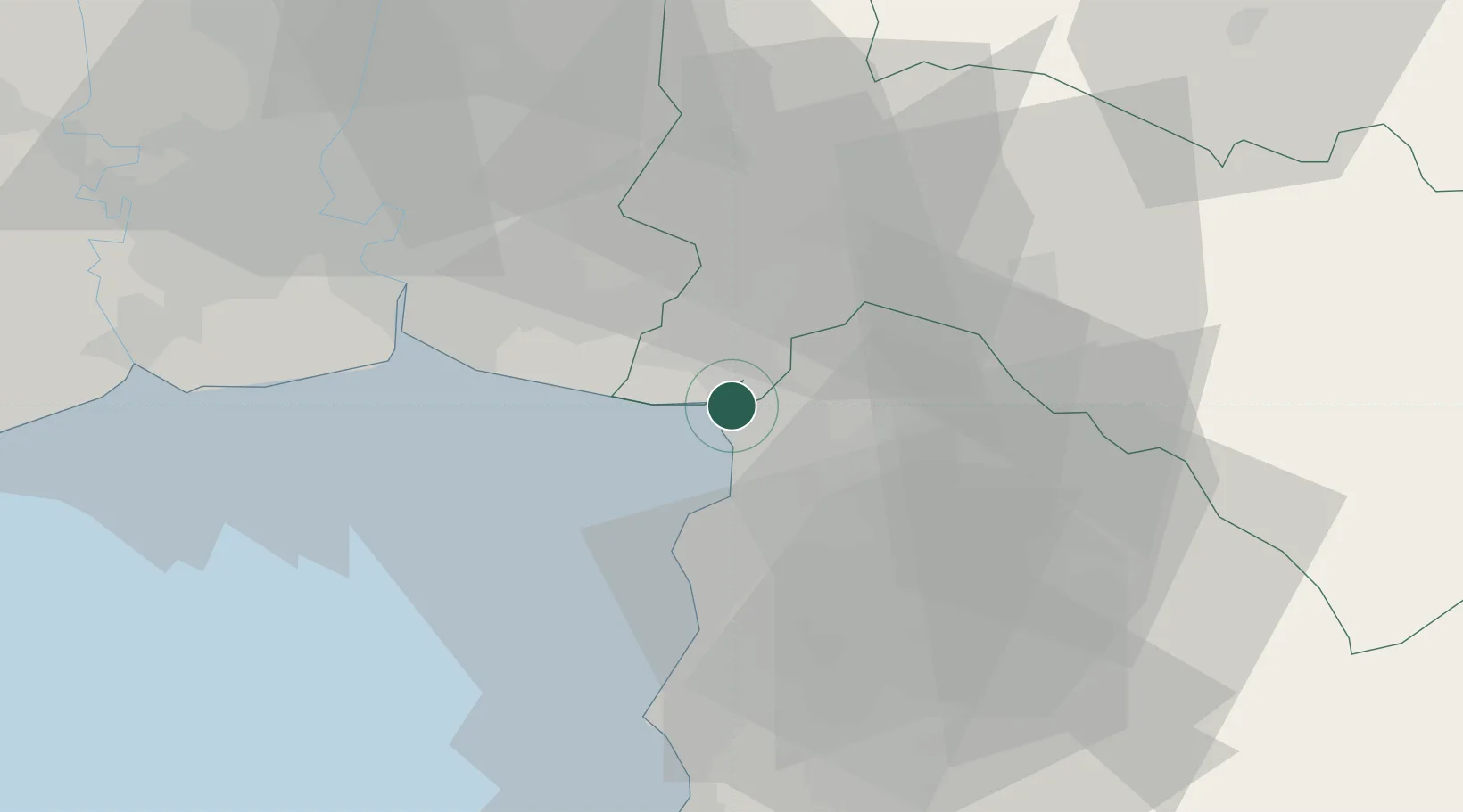
Hub Profile
Region
24
Location
Nearby Logistics Neighbours
Cities
- 1Bangpoomai35 km
- 2Si Racha35 km
- 3Samut Prakan37 km
- 4NH Prosperity37 km
- 5Lat Krabang37 km
Ports
- 1Si Racha Terminal34 km
- 2Ko Si Chang Terminal38 km
- 3Siam Seaport39 km
- 4Laem Chabang44 km
- 5Bangkok61 km
Airports
Trade Zones
DatabookThe Record of Consolidated Knowledge
Thailand beyond logistics?