UN/LOCODE hub · British Virgin Islands
VGSHO

Sopers Hole

18.3833°, -64.7000°
1
Transport functions

Transport Functions

Port
UN/LOCODE

Location

Location of VGSHO
Natural Earth 10m (public domain) · British Virgin Islands · VGSHO · 18.38, -64.70GoogleOSMYandex

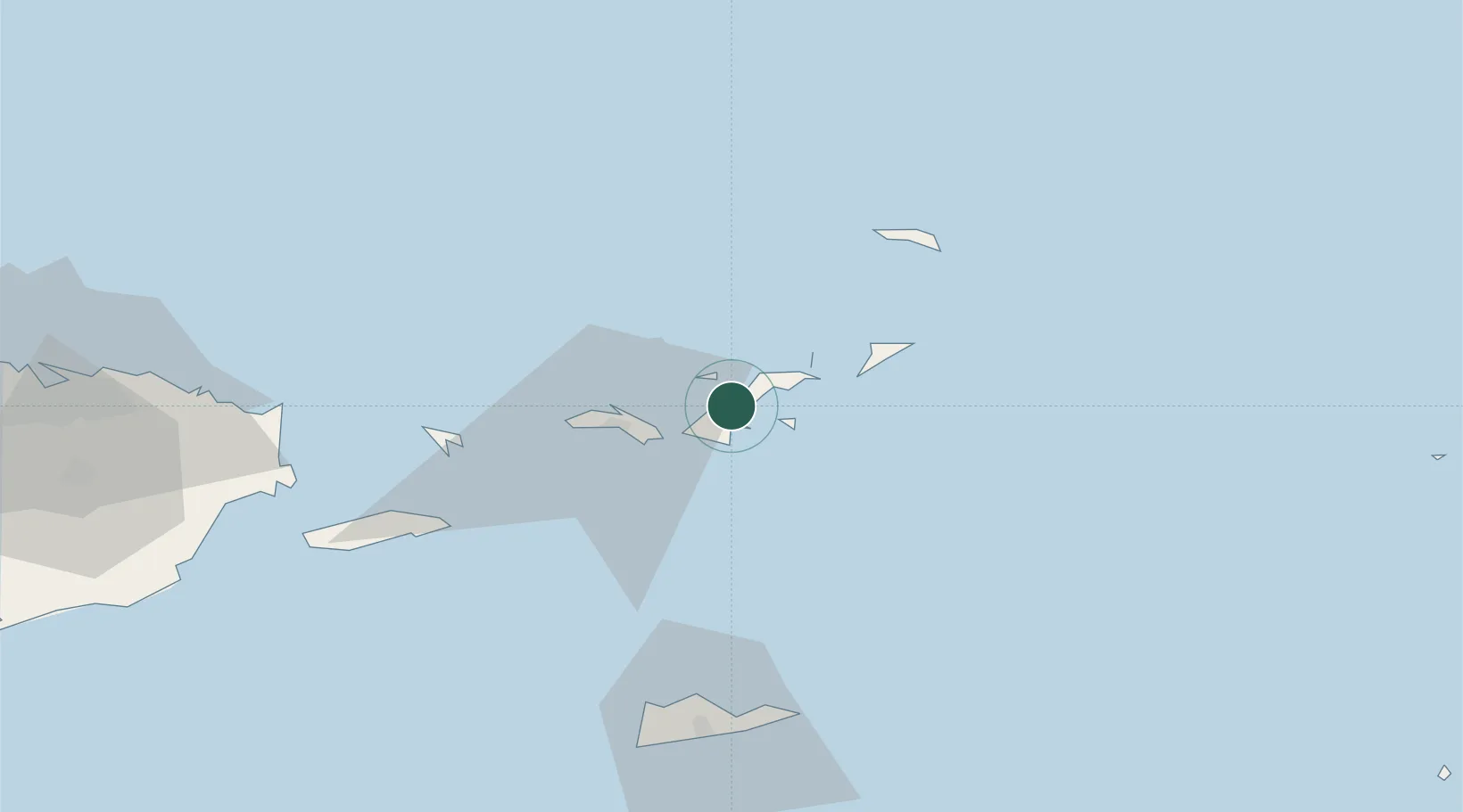
Nearby Logistics Neighbours

Cities
  1. 1Jost Van Dyke8 km
  2. 2Road Town10 km
  3. 3Port Purcell11 km
  4. 4Norman Island12 km
  5. 5Cruz Bay, Saint John12 km
Nearest neighbours — logibook spatial index (haversine) over the source coordinates
Ports
  1. 1Road Harbor10 km
  2. 2Cruz Bay12 km
  3. 3Charlotte Amalie25 km
  4. 4Christiansted70 km
  5. 5Limetree Bay76 km
Nearest neighbours — logibook spatial index (haversine) over the source coordinates
Airports
  1. 1Terrance B. Lettsome International Airport18 km
  2. 2Charlotte Amalie Harbor Seaplane Base26 km
  3. 3Virgin Gorda Airport30 km
  4. 4Cyril E. King Airport30 km
  5. 5Benjamin Rivera Noriega Airport64 km
Nearest neighbours — logibook spatial index (haversine) over the source coordinates
Trade Zones
  1. 1FTZ No. 061 San Juan151 km
  2. 2FTZ No. 163 Ponce200 km
  3. 3FTZ No. 007 Mayaguez261 km
  4. 4Free Trade & Processing Zone337 km
  5. 5Antigua and Barbuda Special Economic Zone (ABSEZ)344 km
Nearest neighbours — logibook spatial index (haversine) over the source coordinates
DatabookThe Record of Consolidated Knowledge
British Virgin Islands beyond logistics?
Browse databook

All Sources

LocationsUN/LOCODE
UN/LOCODE — free
Portsthe NGA World Port Index
Public domain (US gov)
AirportsOurAirports
Public domain
Trade Zonesthe World Bank SEZ database
CC BY 4.0
Trade ZonesOpen Zone Map
CC BY
← British Virgin Islands locations