UN/LOCODE hub · United States
USNQZ
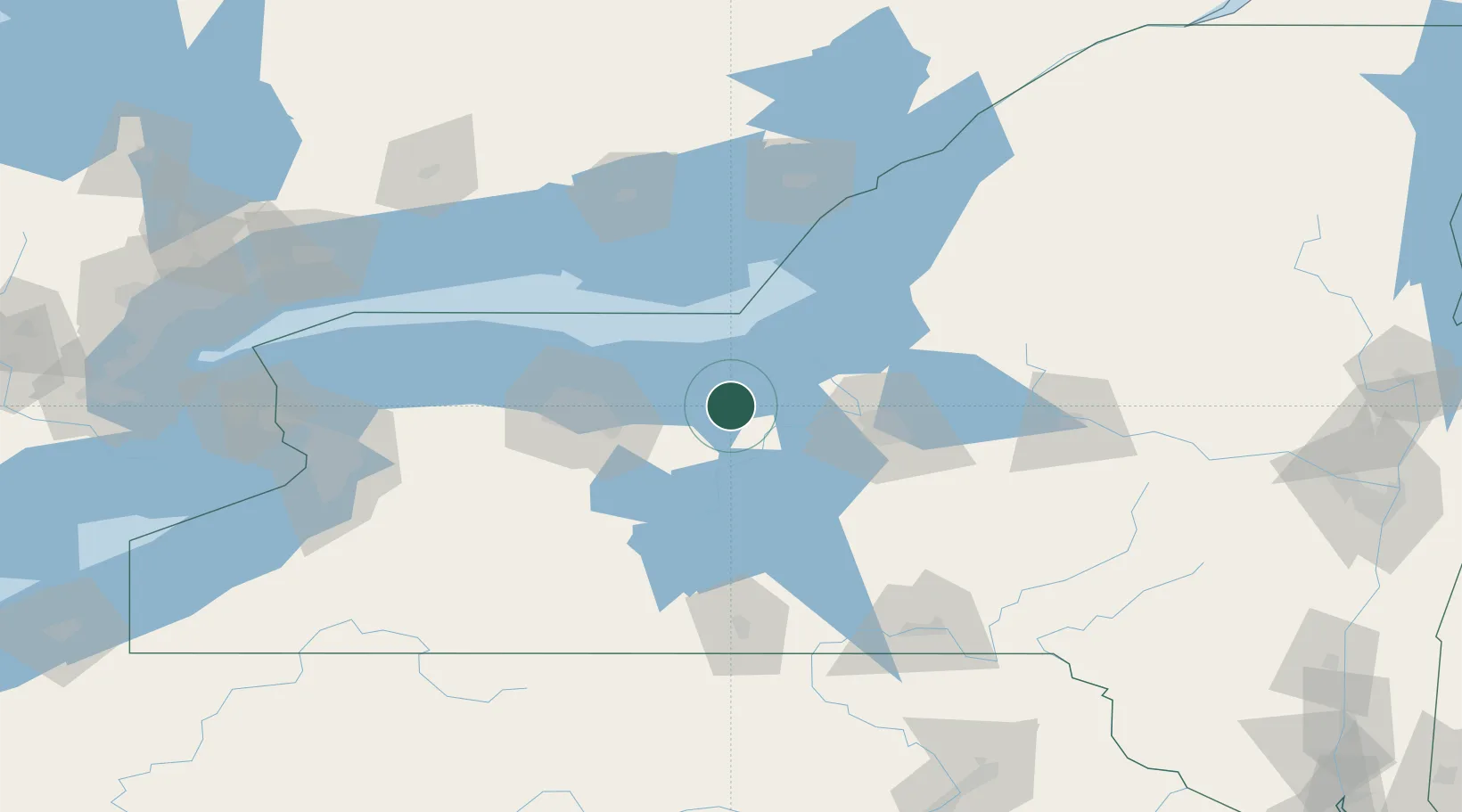
North Rose
43.1833°, -76.8833°
636
Population
4
Transport functions
Transport Functions
Port
Rail
Road
Multimodal
Hub Profile
Place type
Populated place
Region
New York
Population
636
Time zone
America/New_York
Elevation
118 m
Location
Nearby Logistics Neighbours
Cities
- 1Wolcott7 km
- 2Cato26 km
- 3Centerport, Gayuga27 km
- 4Phelps29 km
- 5Weedsport32 km
Airports
Trade Zones
- 1FTZ No. 090 Onondaga40 km
- 2FTZ No. 172 Oneida County69 km
- 3FTZ No. 289 Ontario County70 km
- 4FTZ No. 141 Monroe County88 km
- 5FTZ No. 109 Watertown120 km
DatabookThe Record of Consolidated Knowledge
United States beyond logistics?