Transport Functions
Rail
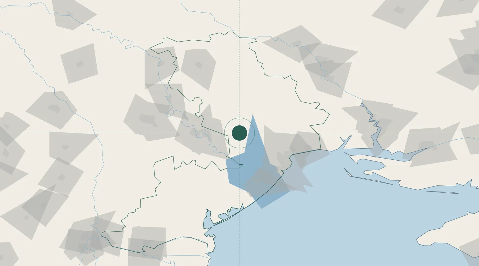
Hub Profile
Place type
Provincial seat
Region
Odesa
Population
17,858
Time zone
Europe/Kyiv
Elevation
134 m
Location
Nearby Logistics Neighbours
Cities
- 1Kamenka27 km
- 2Tiraspol34 km
- 3Bendery47 km
- 4Odesa64 km
- 5Chornomorsk70 km
Ports
- 1Odesa64 km
- 2Illichivsk75 km
- 3Yuzhnyy76 km
- 4Belgorod-Dnestrovsky77 km
- 5Port Oktyabrsk141 km
Airports
- 1Tiraspol Airfield38 km
- 2Odesa International Airport65 km
- 3Chişinău International Airport88 km
- 4Mykolaiv International Airport141 km
- 5Zhovtneve Air Base173 km
DatabookThe Record of Consolidated Knowledge
Ukraine beyond logistics?