UN/LOCODE hub · Ukraine
UABGD
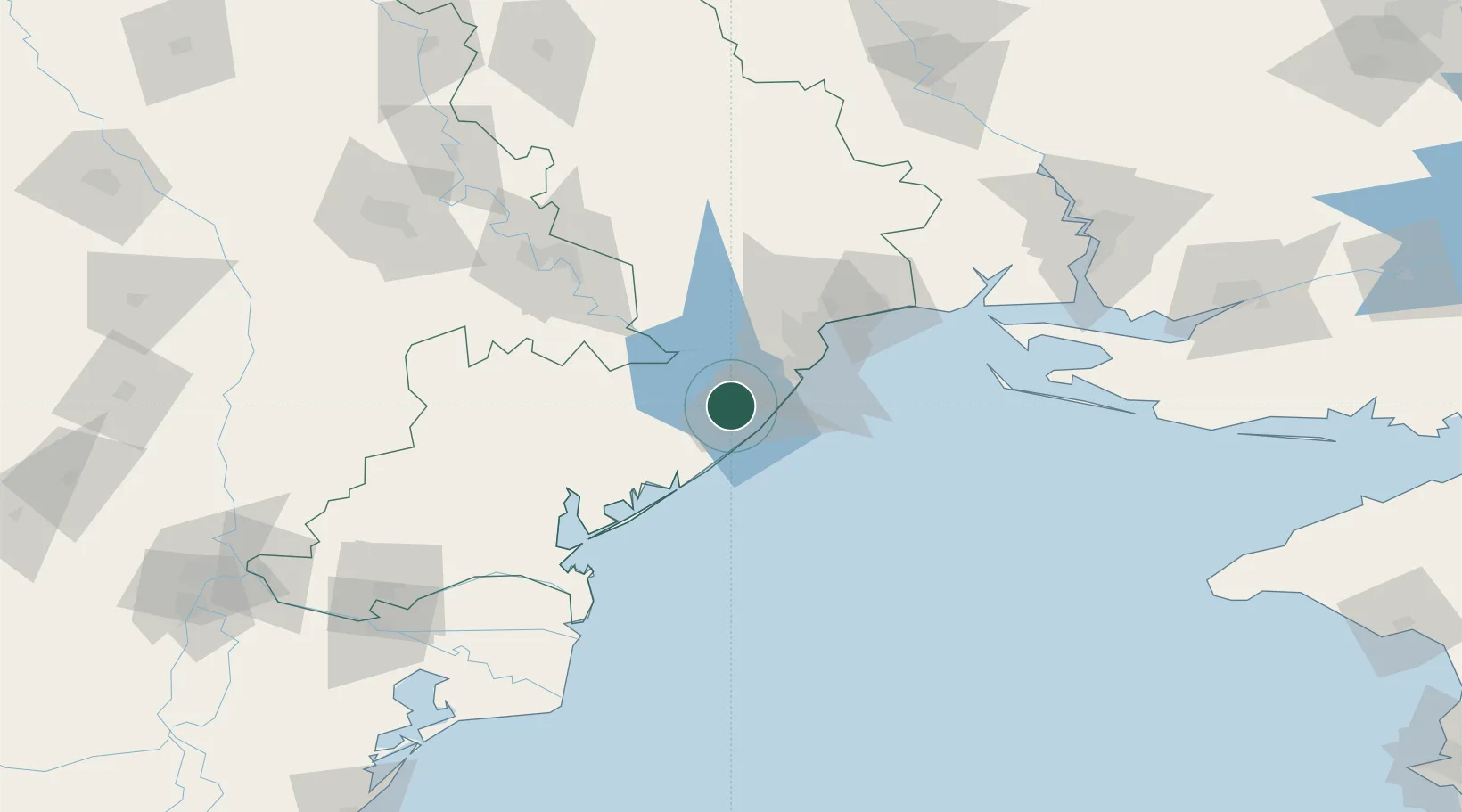
Bilhorod-Dnistrovskyi
46.1833°, 30.3667°
47,727
Population
1
Transport functions
Transport Functions
Port
Hub Profile
Place type
Provincial seat
Region
Odesa
Population
47,727
Time zone
Europe/Kyiv
Elevation
19 m
Location
Nearby Logistics Neighbours
Cities
- 1Chornomorsk31 km
- 2Odesa47 km
- 3Kamenka51 km
- 4Pivdennyi72 km
- 5Rozdil'na77 km
Ports
- 1Illichivsk25 km
- 2Odesa44 km
- 3Yuzhnyy68 km
- 4Ust-Dunaisk95 km
- 5Sulina125 km
Airports
- 1Odesa International Airport36 km
- 2Tiraspol Airfield97 km
- 3Chişinău International Airport137 km
- 4Zhovtneve Air Base145 km
- 5Mykolaiv International Airport153 km
Trade Zones
DatabookThe Record of Consolidated Knowledge
Ukraine beyond logistics?