UN/LOCODE hub · Ukraine
UAILK
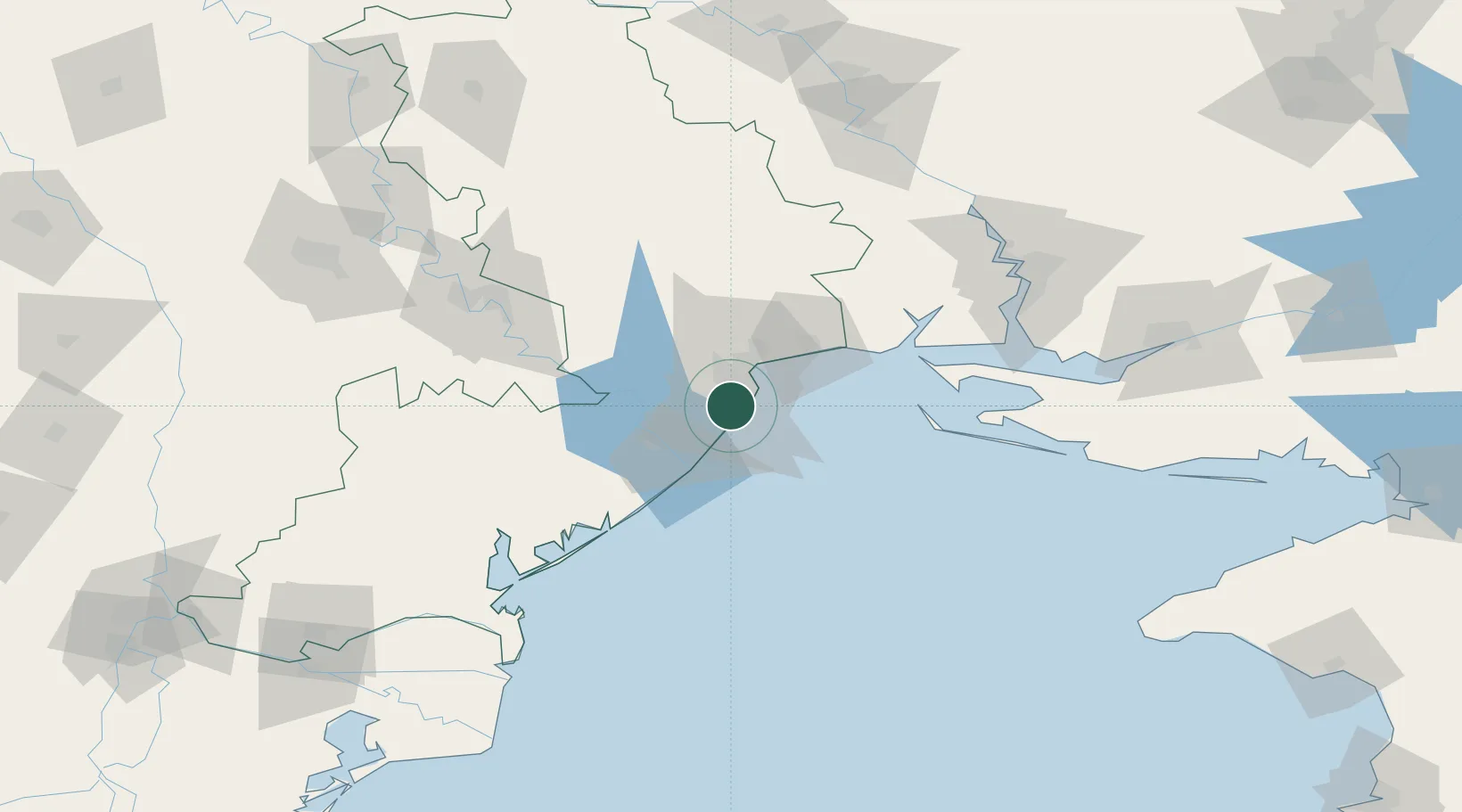
Chornomorsk
46.3661°, 30.6745°
57,983
Population
4
Transport functions
1
Container terminals
Transport Functions
Port
Rail
Road
Multimodal
Hub Profile
Place type
Populated place
Region
Odesa
Population
57,983
Time zone
Europe/Kyiv
Elevation
29 m
Logistics facilities
7
Container terminals
1
Location
Nearby Logistics Neighbours
Cities
- 1Odesa17 km
- 2Bilhorod-Dnistrovskyi31 km
- 3Pivdennyi41 km
- 4Kamenka44 km
- 5Rozdil'na70 km
Ports
- 1Odesa14 km
- 2Belgorod-Dnestrovsky31 km
- 3Yuzhnyy37 km
- 4Port Oktyabrsk109 km
- 5Mykolayiv119 km
Airports
Trade Zones
DatabookThe Record of Consolidated Knowledge
Ukraine beyond logistics?