UN/LOCODE hub · Ukraine
UAZUM

Kamenka

46.6333°, 30.2500°
1
Transport functions

Transport Functions

Multimodal
UN/LOCODE

Hub Profile

Place type
Populated place
GeoNames
Region
Kirovohrad
GeoNames
Time zone
Europe/Kyiv
GeoNames
Elevation
99 m
GeoNames

Location

Location of UAZUM
Natural Earth 10m (public domain) · Kirovohrad · UAZUM · 46.63, 30.25GoogleOSMYandex

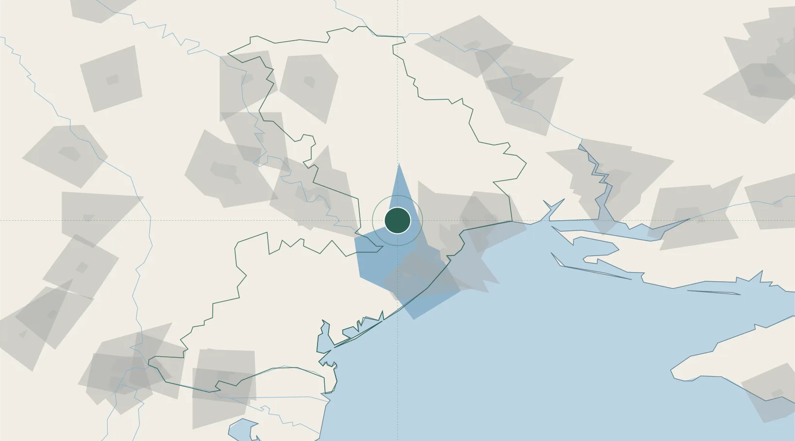
Nearby Logistics Neighbours

Cities
  1. 1Rozdil'na27 km
  2. 2Odesa41 km
  3. 3Chornomorsk44 km
  4. 4Bilhorod-Dnistrovskyi51 km
  5. 5Tiraspol52 km
Nearest neighbours — logibook spatial index (haversine) over the source coordinates
Ports
  1. 1Odesa41 km
  2. 2Illichivsk48 km
  3. 3Belgorod-Dnestrovsky51 km
  4. 4Yuzhnyy59 km
  5. 5Port Oktyabrsk130 km
Nearest neighbours — logibook spatial index (haversine) over the source coordinates
Airports
  1. 1Odesa International Airport40 km
  2. 2Tiraspol Airfield57 km
  3. 3Chişinău International Airport106 km
  4. 4Mykolaiv International Airport136 km
  5. 5Zhovtneve Air Base164 km
Nearest neighbours — logibook spatial index (haversine) over the source coordinates
Trade Zones
  1. 1Porto Franco Special Economic Zone42 km
  2. 2Expo Business Chisinau104 km
  3. 3Free Enterprise Zone Tvardita112 km
  4. 4Free Enterprise Zone - Production Park Valkaneş116 km
  5. 5Special Economic Zone Nikolaev (Mykolaiv)138 km
Nearest neighbours — logibook spatial index (haversine) over the source coordinates
DatabookThe Record of Consolidated Knowledge
Ukraine beyond logistics?
Browse databook

All Sources

LocationsUN/LOCODE
UN/LOCODE — free
Portsthe NGA World Port Index
Public domain (US gov)
AirportsOurAirports
Public domain
Trade Zonesthe World Bank SEZ database
CC BY 4.0
Trade ZonesOpen Zone Map
CC BY
← Ukraine locations