Medium airport · Mozambique
Mueda AirportFQMD
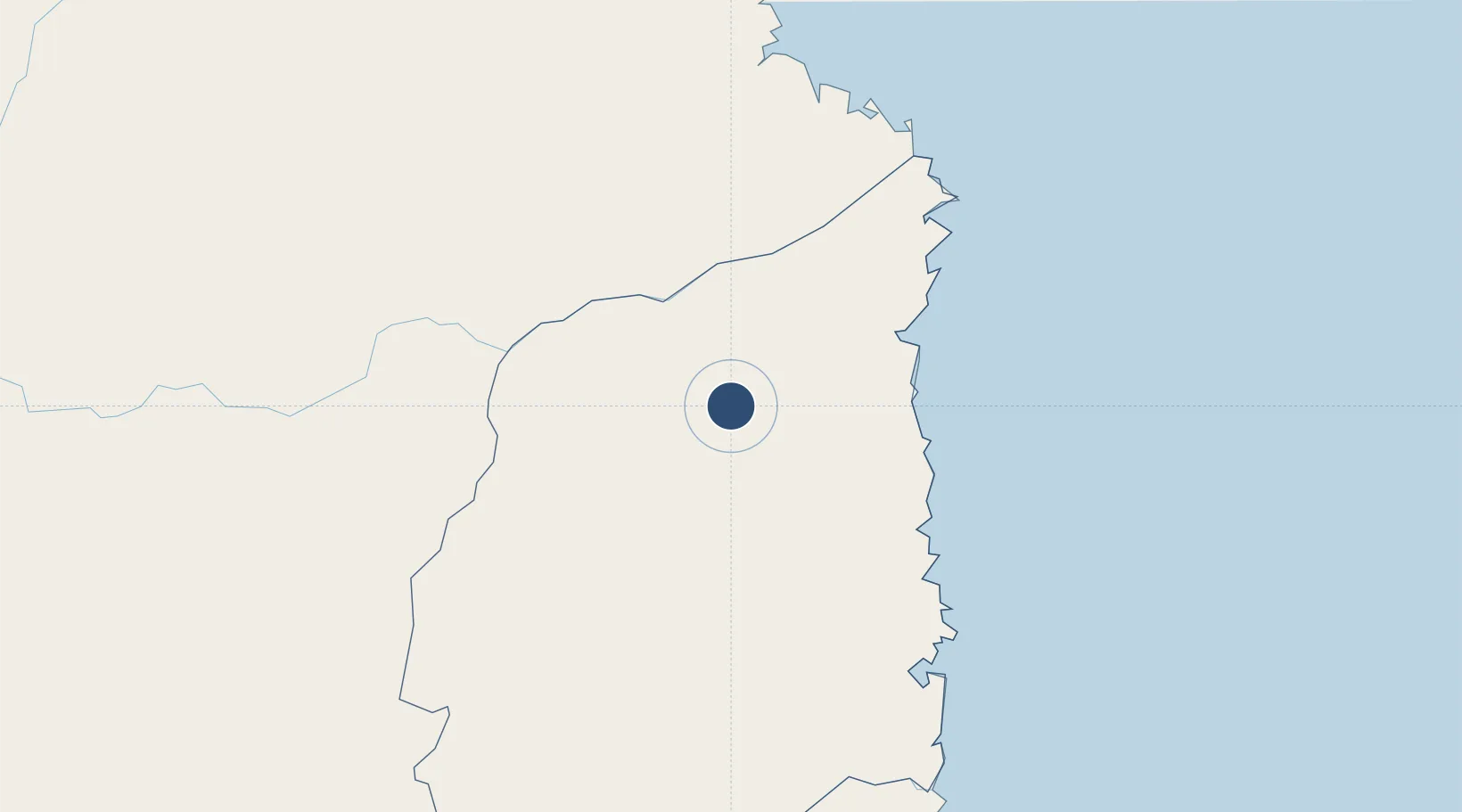
-11.6729°, 39.5631°
7,714 ft
Longest runway
1
Runways
2,789 ft
Elevation
Runway & Layout

Runways · 1
| Runway | Dimensions | Surface | True heading | Lit |
|---|---|---|---|---|
| 16/34 | 7,714 × 98ft | Asphalt | 158° | — |
Airport Specifications
IATA code
MUD
ICAO code
FQMD
Airport class
Medium airport
Scheduled service
No
Runway surface
Asphalt
Served city
Mueda
Location
Nearby Logistics Neighbours
Airports
- 1Mocímboa da Praia Airport93 km
- 2Mtwara Airport163 km
- 3Pemba Airport180 km
- 4Nacala International Airport337 km
- 5Nampula Airport383 km
Cities
- 1Mocímboa da Praia94 km
- 2Zambezia137 km
- 3Mtwara171 km
- 4Nacala344 km
- 5Meconta369 km
Ports
- 1Ibo136 km
- 2Mikindani168 km
- 3Mtwara171 km
- 4Pemba176 km
- 5Kilwa Kivinje327 km
Trade Zones
DatabookThe Record of Consolidated Knowledge
Mozambique beyond logistics?