Transport Functions
Port
Airport
Hub Profile
Place type
Regional capital
Region
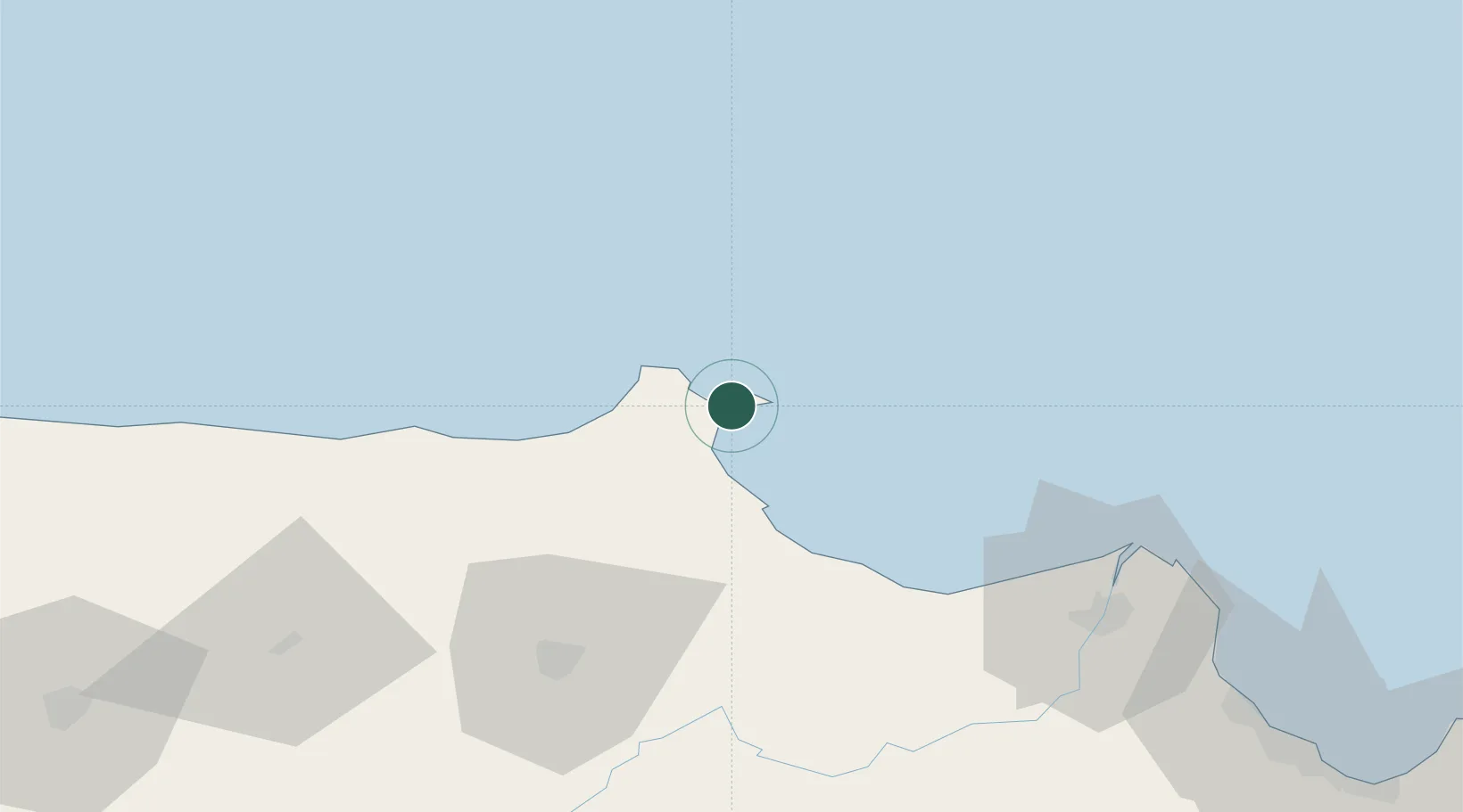
Sinop
Population
34,834
Time zone
Europe/Istanbul
Elevation
100 m
Location
Nearby Logistics Neighbours
Cities
- 1Ayancik46 km
- 2Gerze97 km
- 3Inebolu113 km
- 4Büyükçukur126 km
- 5Samsun128 km
Airports
- 1Sinop Airport5 km
- 2Kastamonu Airport136 km
- 3Amasya Merzifon Airport136 km
- 4Samsun-Çarşamba Airport146 km
- 5Tokat Airport216 km
Trade Zones
DatabookThe Record of Consolidated Knowledge
Türkiye beyond logistics?