Transport Functions
Multimodal
Hub Profile
Place type
Populated place
Region
Çankırı
Time zone
Europe/Istanbul
Elevation
906 m
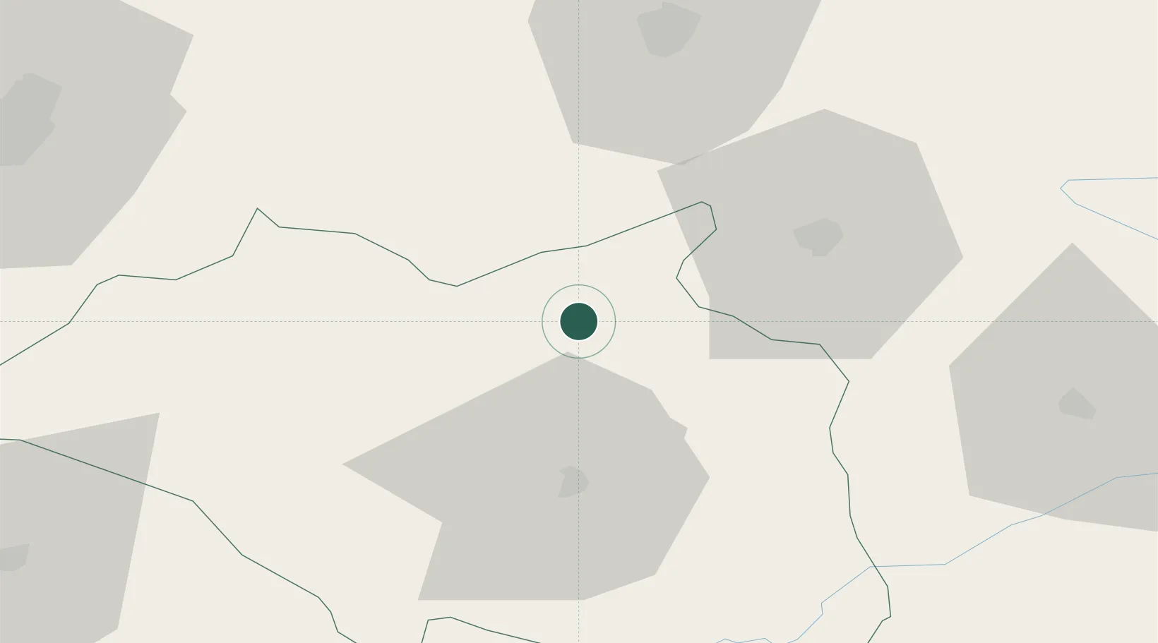
Location
Nearby Logistics Neighbours
Cities
- 1Hasanoglan107 km
- 2Elmadag115 km
- 3Inebolu119 km
- 4Cide123 km
- 5Ankara124 km
Airports
- 1Kastamonu Airport48 km
- 2Esenboğa International Airport101 km
- 3Akıncı Air Base127 km
- 4Etimesgut Air Base132 km
- 5Zonguldak Çaycuma Airport145 km
DatabookThe Record of Consolidated Knowledge
Türkiye beyond logistics?