Transport Functions
Port
Hub Profile
Place type
Provincial seat
Region
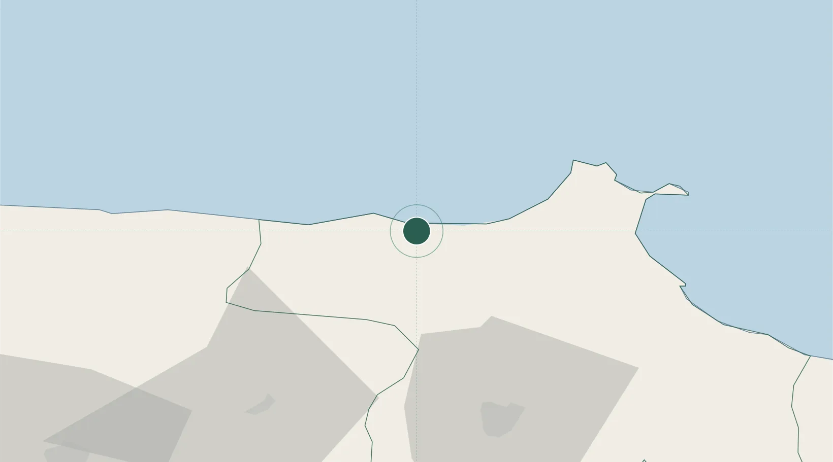
Sinop
Population
11,779
Time zone
Europe/Istanbul
Elevation
69 m
Location
Nearby Logistics Neighbours
Airports
- 1Sinop Airport42 km
- 2Kastamonu Airport95 km
- 3Amasya Merzifon Airport146 km
- 4Samsun-Çarşamba Airport182 km
- 5Zonguldak Çaycuma Airport212 km
Trade Zones
DatabookThe Record of Consolidated Knowledge
Türkiye beyond logistics?