UN/LOCODE hub · Türkiye
TRCID

Cide

41.9000°, 32.9833°
12,095
Population
1
Transport functions

Transport Functions

Port
UN/LOCODE

Hub Profile

Place type
Provincial seat
GeoNames
Region
Kastamonu
GeoNames
Population
12,095
GeoNames
Time zone
Europe/Istanbul
GeoNames
Elevation
15 m
GeoNames

Location

Location of TRCID
Natural Earth 10m (public domain) · Kastamonu · TRCID · 41.90, 32.98GoogleOSMYandex

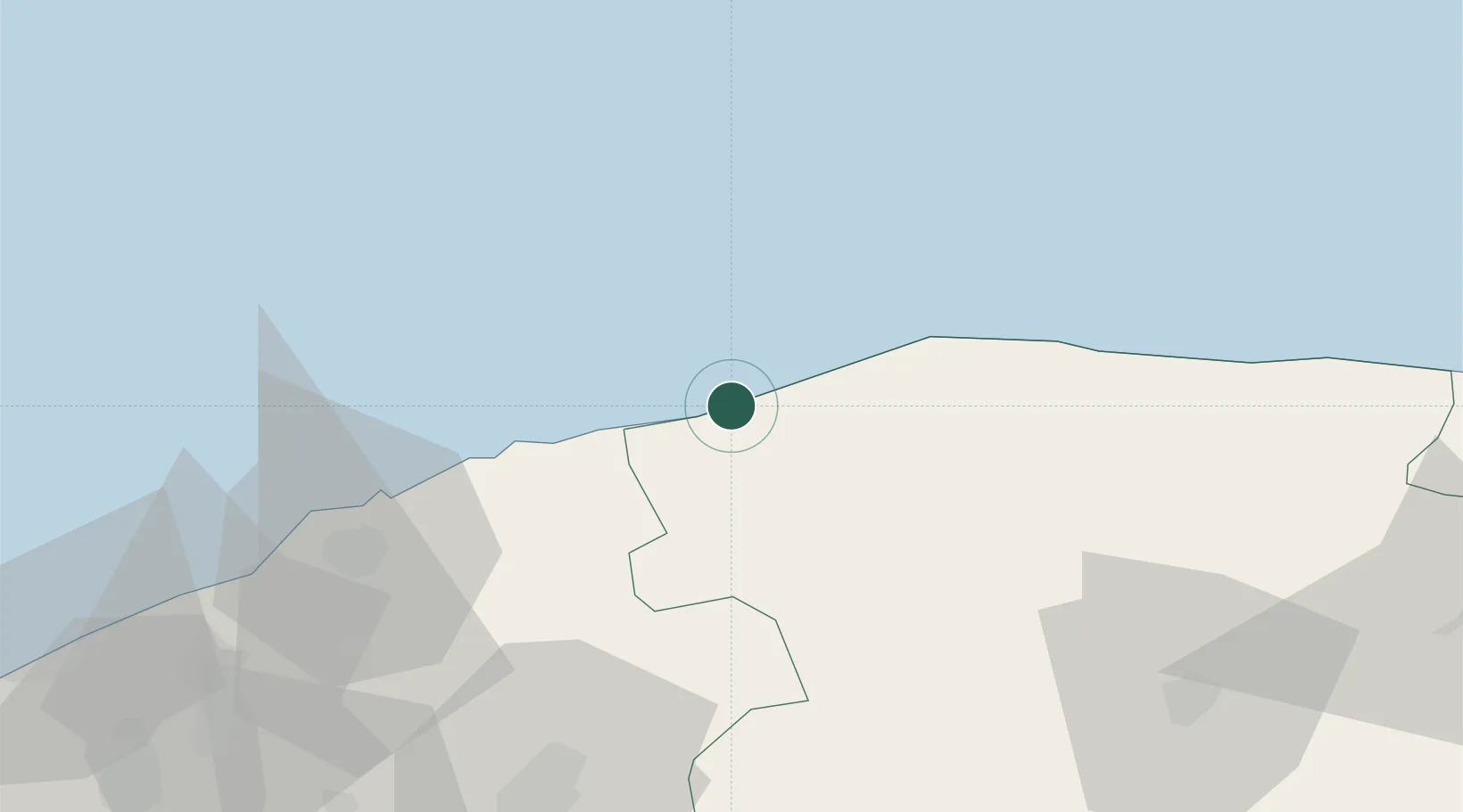
Nearby Logistics Neighbours

Cities
  1. 1Çamalti57 km
  2. 2Inebolu65 km
  3. 3Suez Canal70 km
  4. 4Zonguldak112 km
  5. 5Gaziler123 km
Nearest neighbours — logibook spatial index (haversine) over the source coordinates
Ports
  1. 1Inebolu65 km
  2. 2Zonguldak108 km
  3. 3Eregli144 km
  4. 4Sinop181 km
  5. 5Izmit285 km
Nearest neighbours — logibook spatial index (haversine) over the source coordinates
Airports
  1. 1Zonguldak Çaycuma Airport86 km
  2. 2Kastamonu Airport94 km
  3. 3Sinop Airport173 km
  4. 4Esenboğa International Airport197 km
  5. 5Akıncı Air Base206 km
Nearest neighbours — logibook spatial index (haversine) over the source coordinates
Trade Zones
  1. 1Cankiri-Korgun Organized Industrial Zone138 km
  2. 2Ostim Organized Industrial Zone215 km
  3. 3Ankara Sanayi Odasi I. Sincan Organized Industrial Zone218 km
  4. 4Corum Organized Industrial Zone222 km
  5. 5Sakarya Ipekyolu Free Zone226 km
Nearest neighbours — logibook spatial index (haversine) over the source coordinates
DatabookThe Record of Consolidated Knowledge
Türkiye beyond logistics?
Browse databook

All Sources

LocationsUN/LOCODE
UN/LOCODE — free
LocationsGeoNames
CC BY 4.0
Portsthe NGA World Port Index
Public domain (US gov)
AirportsOurAirports
Public domain
Trade Zonesthe World Bank SEZ database
CC BY 4.0
Trade ZonesOpen Zone Map
CC BY
← Türkiye locations