Transport Functions
Port
Hub Profile
Place type
Provincial seat
Region
Kastamonu
Population
9,935
Time zone
Europe/Istanbul
Elevation
1 m
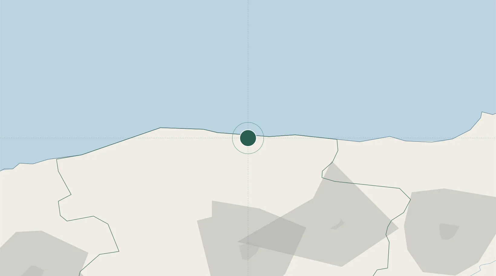
Location
Nearby Logistics Neighbours
Airports
- 1Kastamonu Airport73 km
- 2Sinop Airport108 km
- 3Zonguldak Çaycuma Airport148 km
- 4Amasya Merzifon Airport194 km
- 5Esenboğa International Airport214 km
DatabookThe Record of Consolidated Knowledge
Türkiye beyond logistics?