Transport Functions
Port
Hub Profile
Place type
Regional capital
Region
Canakkale
Population
143,622
Time zone
Europe/Istanbul
Elevation
12 m
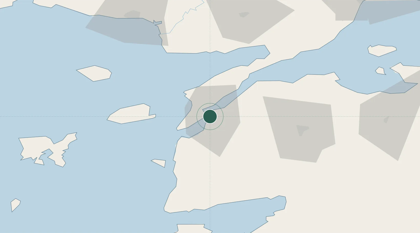
Location
Nearby Logistics Neighbours
Ports
- 1Eceabat5 km
- 2Gelibolu36 km
- 3Karabiga83 km
- 4Alexandroupoli88 km
- 5Ayvalik96 km
Airports
- 1Çanakkale Airport3 km
- 2Keşan Air Base73 km
- 3Balıkesir Koca Seyit Airport84 km
- 4Alexandroupoli Democritus Airport87 km
- 5Limnos Airport102 km
Trade Zones
DatabookThe Record of Consolidated Knowledge
Türkiye beyond logistics?