Transport Functions
Port
Hub Profile
Region
17
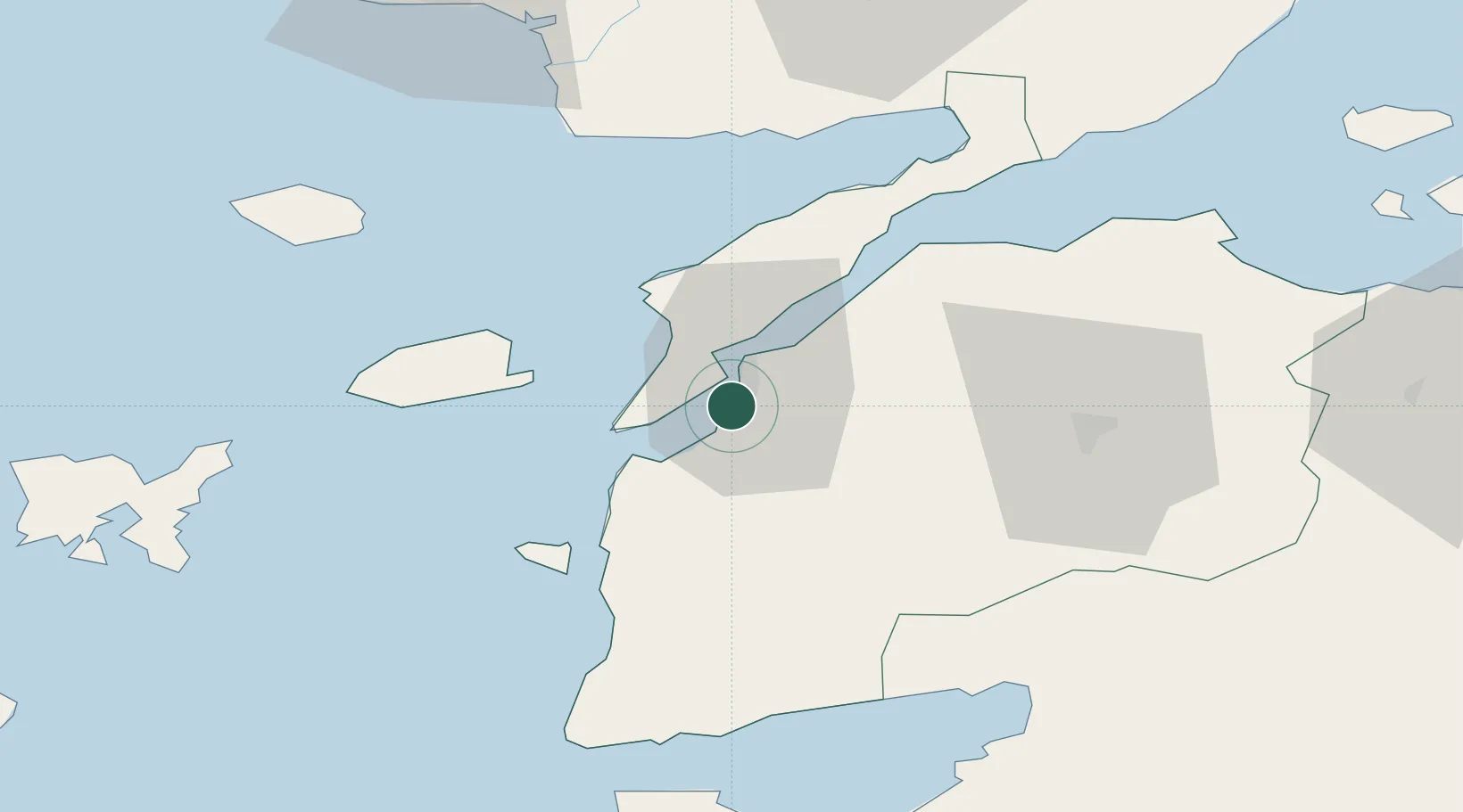
Location
Nearby Logistics Neighbours
Airports
- 1Çanakkale Airport6 km
- 2Keşan Air Base79 km
- 3Balıkesir Koca Seyit Airport81 km
- 4Alexandroupoli Democritus Airport92 km
- 5Limnos Airport100 km
Trade Zones
DatabookThe Record of Consolidated Knowledge
Türkiye beyond logistics?