Channel & Berth Profile
Pilotage, Tugs & Services
Potable waterYES
MedicalYES
Facilities & Capabilities
ContainerYES
Ro-RoNO
Liquid bulkNO
Dry bulkYES
Oil terminal—
Break bulkYES
Dry dock—
Repairs—
Bunkering—
Rail link—
Dangerous cargo—
ISPS security—
Harbour Specifications
Harbour size
Very Small
Harbour type
Coastal (Natural)
Shelter
Good
Water body
Greenland Sea; Arctic Ocean
Tidal range
3 m
Overhead limit
No
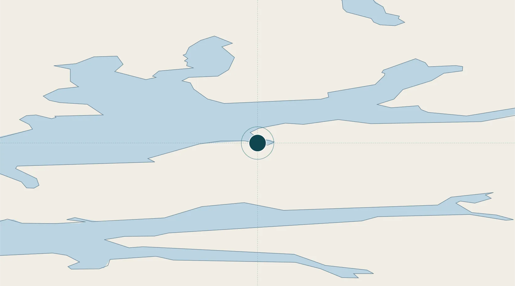
Location
Nearby Logistics Neighbours
Ports
- 1Barentsburg38 km
- 2Ny Alesund113 km
- 3Honningsvag858 km
- 4Sorvaer865 km
- 5Hammerfest872 km
Cities
- 1Barentsburg37 km
- 2Sveagruva48 km
- 3Ny-Ålesund113 km
- 4Tufjorden838 km
- 5Akkarfjord858 km
Airports
- 1Svalbard Airport, Longyear4 km
- 2Honningsvåg Airport, Valan856 km
- 3Hammerfest Airport871 km
- 4Hasvik Airport881 km
- 5Alta Airport945 km
Trade Zones
- 1Murmansk Special Economic Zone1156 km
- 2Oulu Port Free Warehouse Area1506 km
- 3Free Zone of Lappeenranta1961 km
- 4Turku Free Zone1991 km
- 5Port of Hamina-Kotka2015 km
DatabookThe Record of Consolidated Knowledge
Svalbard & Jan Mayen beyond logistics?