UN/LOCODE hub · Svalbard & Jan Mayen
SJBAR
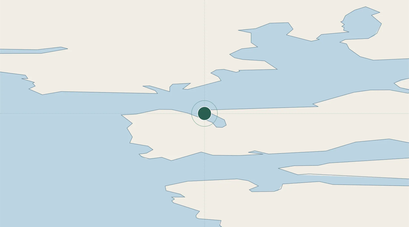
Barentsburg
78.0667°, 14.2000°
297
Population
1
Transport functions
Transport Functions
Port
Hub Profile
Place type
Populated place
Region
Svalbard
Population
297
Time zone
Arctic/Longyearbyen
Location
Nearby Logistics Neighbours
Cities
- 1Longyearbyen37 km
- 2Sveagruva62 km
- 3Ny-Ålesund109 km
- 4Tufjorden834 km
- 5Akkarfjord853 km
Ports
- 1Longyearbyen37 km
- 2Ny Alesund108 km
- 3Honningsvag858 km
- 4Sorvaer858 km
- 5Hammerfest868 km
Airports
- 1Svalbard Airport, Longyear35 km
- 2Honningsvåg Airport, Valan855 km
- 3Hammerfest Airport866 km
- 4Hasvik Airport874 km
- 5Alta Airport940 km
Trade Zones
- 1Murmansk Special Economic Zone1163 km
- 2Oulu Port Free Warehouse Area1500 km
- 3Free Zone of Lappeenranta1956 km
- 4Turku Free Zone1980 km
- 5Port of Hamina-Kotka2009 km
DatabookThe Record of Consolidated Knowledge
Svalbard & Jan Mayen beyond logistics?