UN/LOCODE hub · Svalbard & Jan Mayen
SJNYA
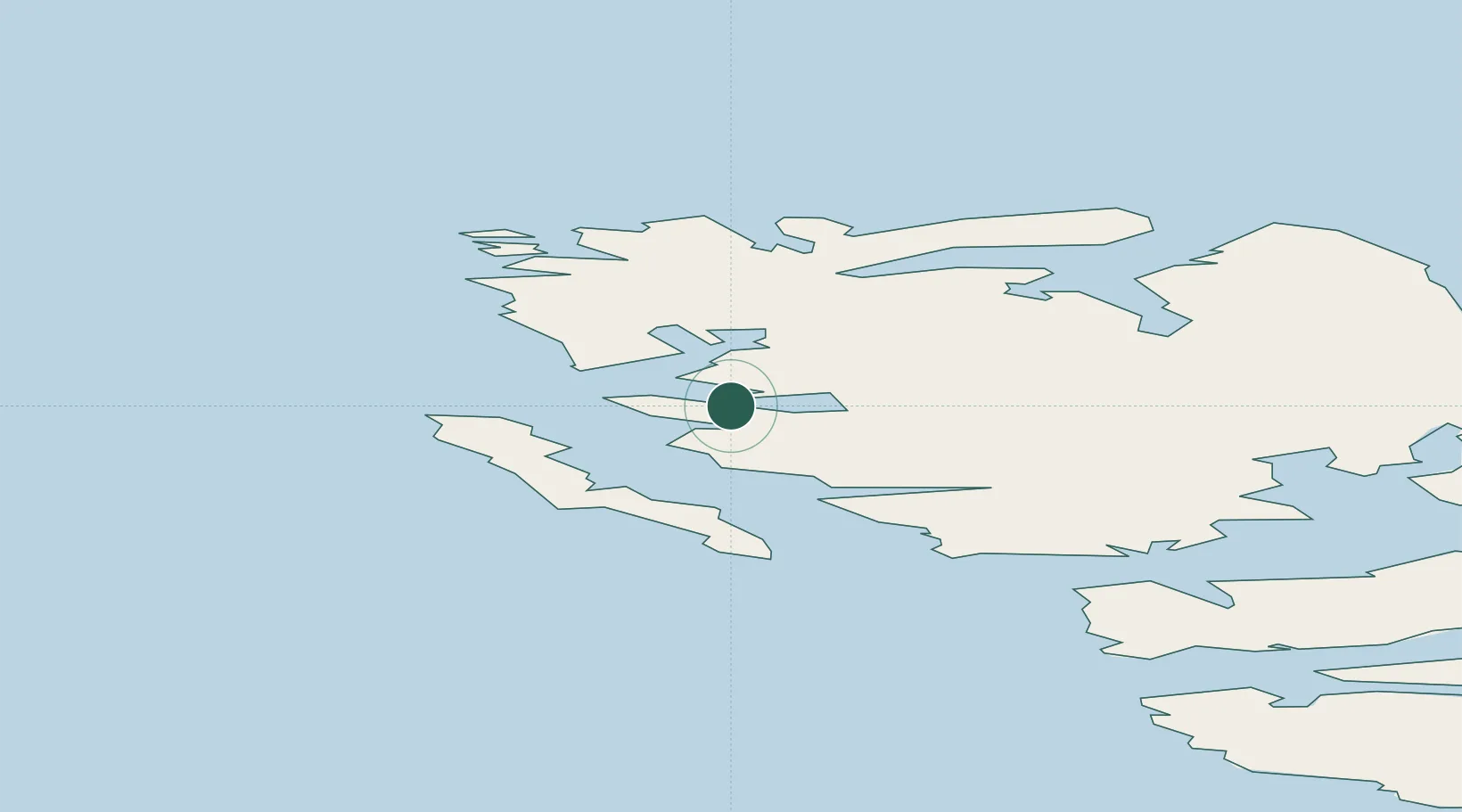
Ny-Ålesund
78.9333°, 11.9500°
35
Population
1
Transport functions
Transport Functions
Port
Hub Profile
Place type
Populated place
Region
Svalbard
Population
35
Time zone
Arctic/Longyearbyen
Elevation
32 m
Location
Nearby Logistics Neighbours
Cities
- 1Barentsburg109 km
- 2Longyearbyen114 km
- 3Sveagruva160 km
- 4Sørvær965 km
- 5Torsvåg989 km
Ports
- 1Barentsburg109 km
- 2Longyearbyen113 km
- 3Sorvaer965 km
- 4Tromso1052 km
- 5Olavsvern1066 km
Airports
- 1Svalbard Airport, Longyear109 km
- 2Hammerfest Airport975 km
- 3Hasvik Airport982 km
- 4Tromsø Airport1048 km
- 5Alta Airport1048 km
Trade Zones
- 1Murmansk Special Economic Zone1268 km
- 2Oulu Port Free Warehouse Area1608 km
- 3Free Zone of Lappeenranta2064 km
- 4Turku Free Zone2086 km
- 5Port of Hamina-Kotka2117 km
DatabookThe Record of Consolidated Knowledge
Svalbard & Jan Mayen beyond logistics?