UN/LOCODE hub · Svalbard & Jan Mayen
SJLYR
Longyearbyen
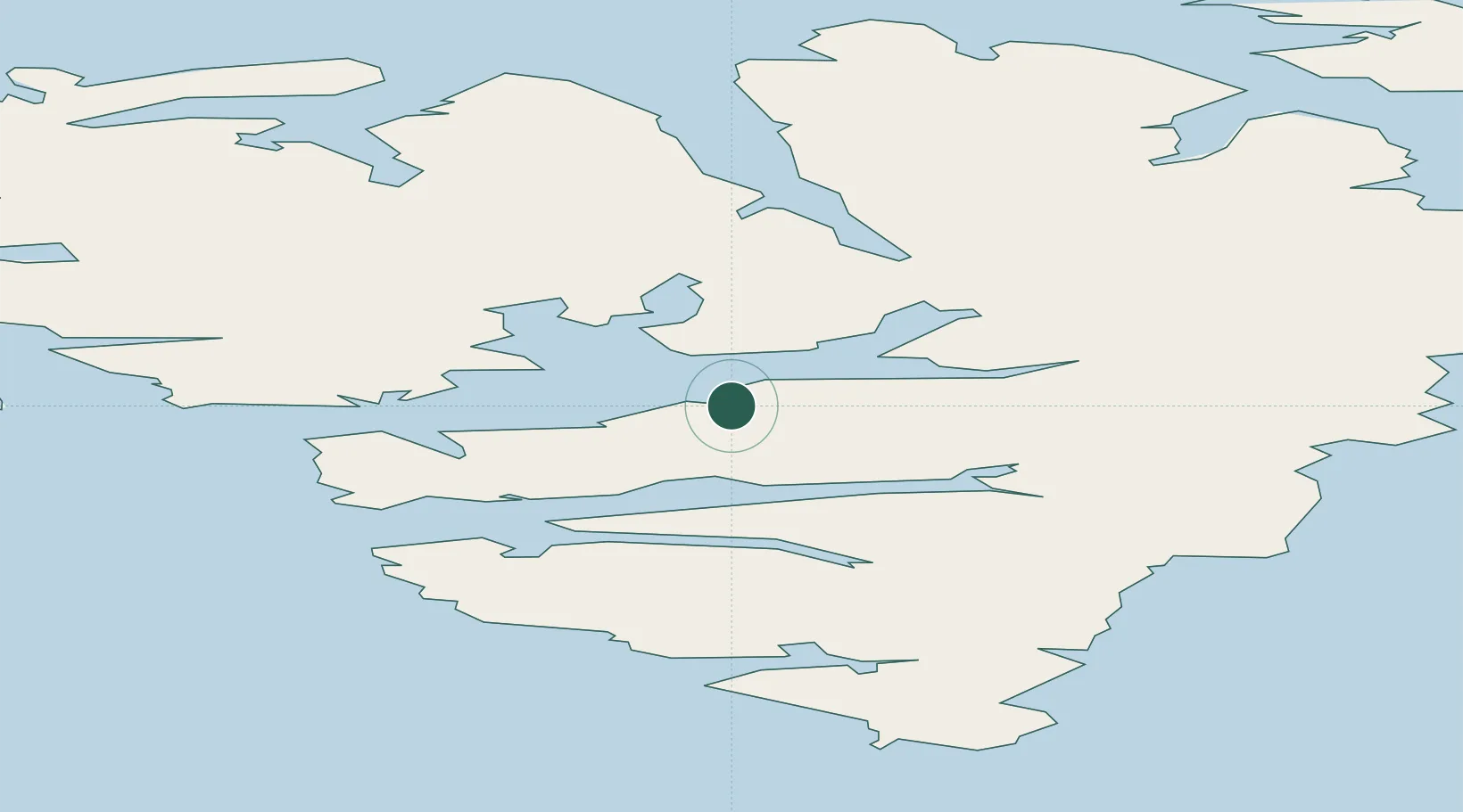
78.2167°, 15.6333°
2,368
Population
3
Transport functions
Transport Functions
Port
Road
Airport
Hub Profile
Place type
National capital
Region
Svalbard
Population
2,368
Time zone
Arctic/Longyearbyen
Elevation
1 m
Location
Nearby Logistics Neighbours
Cities
- 1Barentsburg37 km
- 2Sveagruva47 km
- 3Ny-Ålesund114 km
- 4Tufjorden837 km
- 5Akkarfjord857 km
Ports
- 1Barentsburg37 km
- 2Ny Alesund114 km
- 3Honningsvag857 km
- 4Sorvaer864 km
- 5Hammerfest871 km
Airports
- 1Svalbard Airport, Longyear5 km
- 2Honningsvåg Airport, Valan855 km
- 3Hammerfest Airport870 km
- 4Hasvik Airport880 km
- 5Alta Airport944 km
Trade Zones
- 1Murmansk Special Economic Zone1155 km
- 2Oulu Port Free Warehouse Area1505 km
- 3Free Zone of Lappeenranta1960 km
- 4Turku Free Zone1990 km
- 5Port of Hamina-Kotka2014 km
DatabookThe Record of Consolidated Knowledge
Svalbard & Jan Mayen beyond logistics?