Channel & Berth Profile
Pilotage, Tugs & Services
Pilotage compulsoryYES
Pilotage availableYES
Pilotage advisableYES
Local assistanceYES
Tug assistanceYES
Potable waterYES
MedicalYES
Garbage disposalYES
Facilities & Capabilities
ContainerNO
Ro-RoYES
Liquid bulkYES
Dry bulkYES
Oil terminalNO
Break bulkYES
Dry dockNO
RepairsNO
BunkeringYES
Rail link—
Dangerous cargo—
ISPS security—
Harbour Specifications
Harbour size
Small
Harbour type
Coastal (Natural)
Shelter
Excellent
Water body
Baltic Sea; North Atlantic Ocean
Tidal range
1 m
Pilotage
Yes
Liner Connectivity
9.1
PLSCI
Port Liner Shipping Connectivity Index for Solvesborg, as published by UNCTAD for the latest available quarter. Higher values indicate stronger scheduled liner-shipping integration.
Shown relative to the highest per-port PLSCI in the dataset (1,657.9).
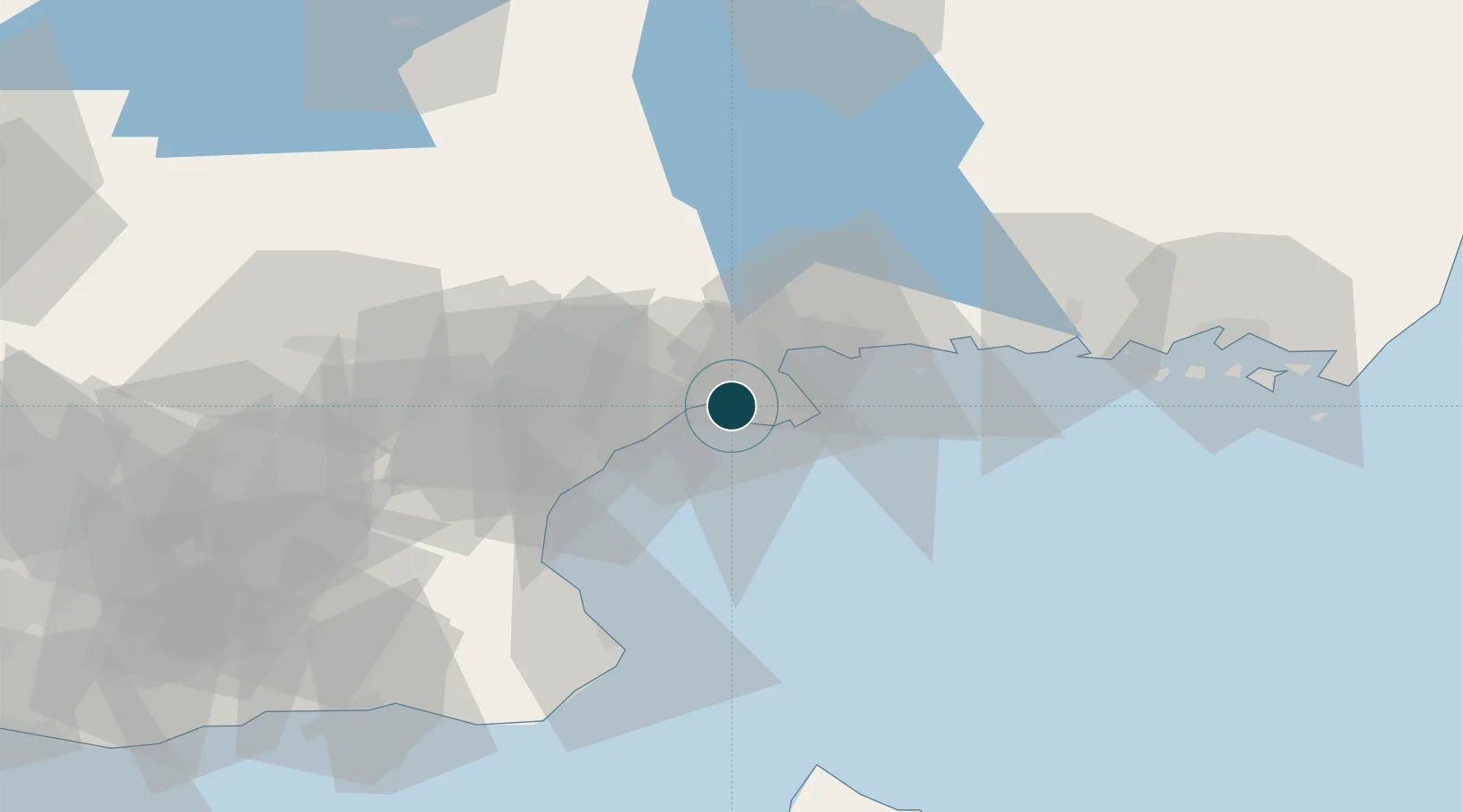
Location
Nearby Logistics Neighbours
Ports
- 1Ahus21 km
- 2Karlshamn21 km
- 3Ronneby47 km
- 4Simrishamn56 km
- 5Karlskrona64 km
Cities
- 1Elleholm17 km
- 2Karlshamn19 km
- 3Åhus21 km
- 4Östra Sönnarslöv40 km
- 5Lönsboda43 km
Airports
- 1Kristianstad Airport34 km
- 2Ronneby Airport49 km
- 3Ljungbyhed Airfield85 km
- 4Malmö Sturup Airport95 km
- 5Växjö Kronoberg Airport99 km
Trade Zones
- 1MTS Malmö Transport and Spedition105 km
- 2Freeport of Copenhagen- Nordhavn129 km
- 3Jönköping Free Zone194 km
- 4Słupsk SEZ (Słupska SSE)234 km
- 5Swinoujscie Duty Free Zone240 km
DatabookThe Record of Consolidated Knowledge
Sweden beyond logistics?