UN/LOCODE hub · Sweden
SEAHU
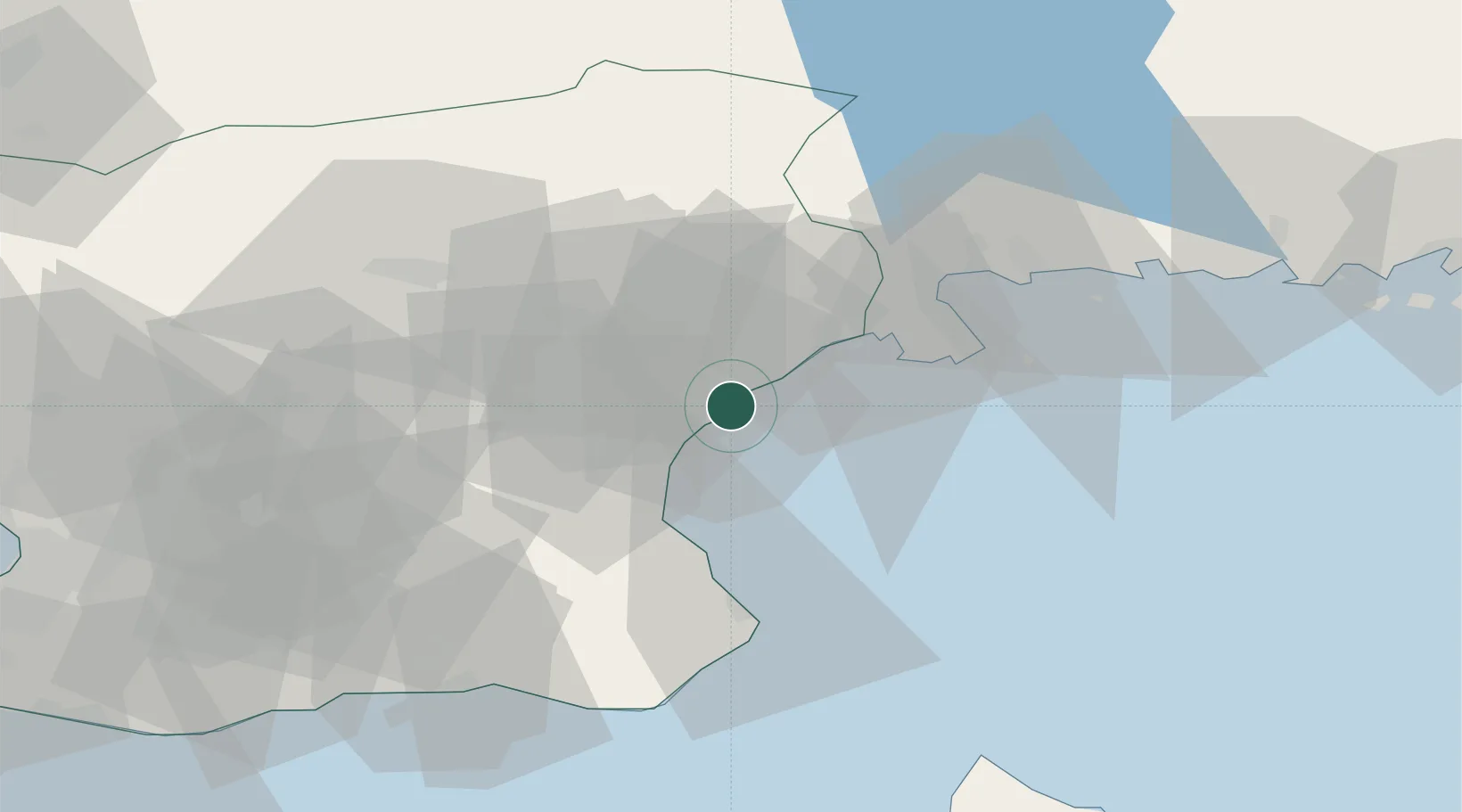
Åhus
55.9279°, 14.3177°
9,840
Population
3
Transport functions
1
Container terminals
Transport Functions
Port
Rail
Road
Hub Profile
Place type
Populated place
Region
Skåne
Population
9,840
Time zone
Europe/Stockholm
Elevation
1 m
Logistics facilities
2
Container terminals
1
Location
Nearby Logistics Neighbours
Cities
- 1Östra Sönnarslöv19 km
- 2Sölvesborg20 km
- 3Nävlinge34 km
- 4Elleholm38 km
- 5Karlshamn40 km
Ports
- 1Solvesborg21 km
- 2Simrishamn41 km
- 3Karlshamn42 km
- 4Ystad65 km
- 5Ronneby67 km
Airports
- 1Kristianstad Airport15 km
- 2Ronneby Airport70 km
- 3Ljungbyhed Airfield71 km
- 4Malmö Sturup Airport73 km
- 5Ängelholm-Helsingborg Airport100 km
Trade Zones
- 1MTS Malmö Transport and Spedition85 km
- 2Freeport of Copenhagen- Nordhavn110 km
- 3Jönköping Free Zone205 km
- 4Swinoujscie Duty Free Zone226 km
- 5Słupsk SEZ (Słupska SSE)237 km
DatabookThe Record of Consolidated Knowledge
Sweden beyond logistics?