Transport Functions
Rail
Road
Hub Profile
Region
M
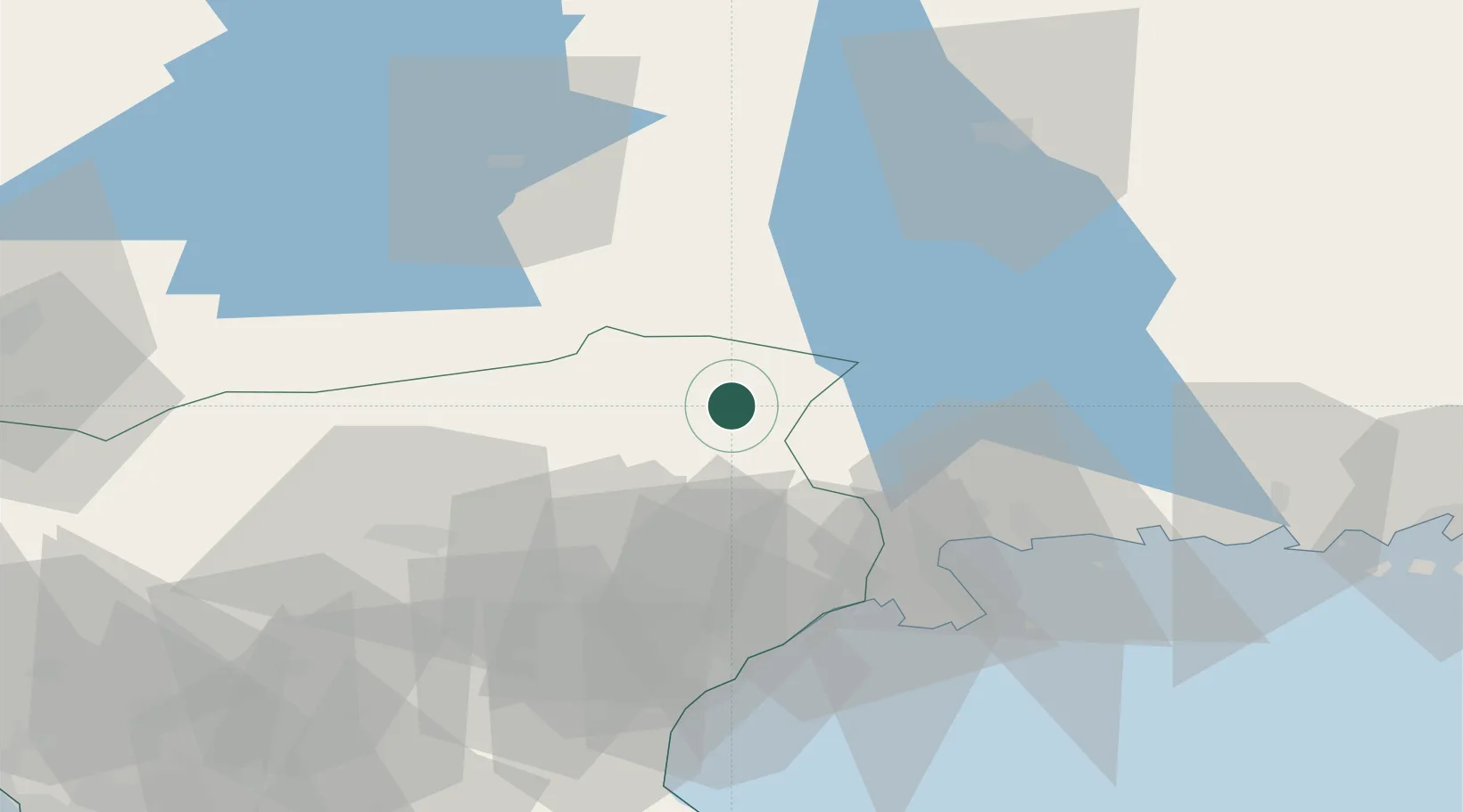
Location
Nearby Logistics Neighbours
Cities
- 1Diö27 km
- 2Urshult32 km
- 3Elleholm37 km
- 4Karlshamn41 km
- 5Sölvesborg42 km
Ports
- 1Solvesborg43 km
- 2Karlshamn44 km
- 3Ahus53 km
- 4Ronneby66 km
- 5Karlskrona83 km
Airports
- 1Kristianstad Airport55 km
- 2Ronneby Airport60 km
- 3Växjö Kronoberg Airport64 km
- 4Ljungbyhed Airfield77 km
- 5Ängelholm-Helsingborg Airport91 km
Trade Zones
DatabookThe Record of Consolidated Knowledge
Sweden beyond logistics?