Seaport · Sweden
AhusSEAHU
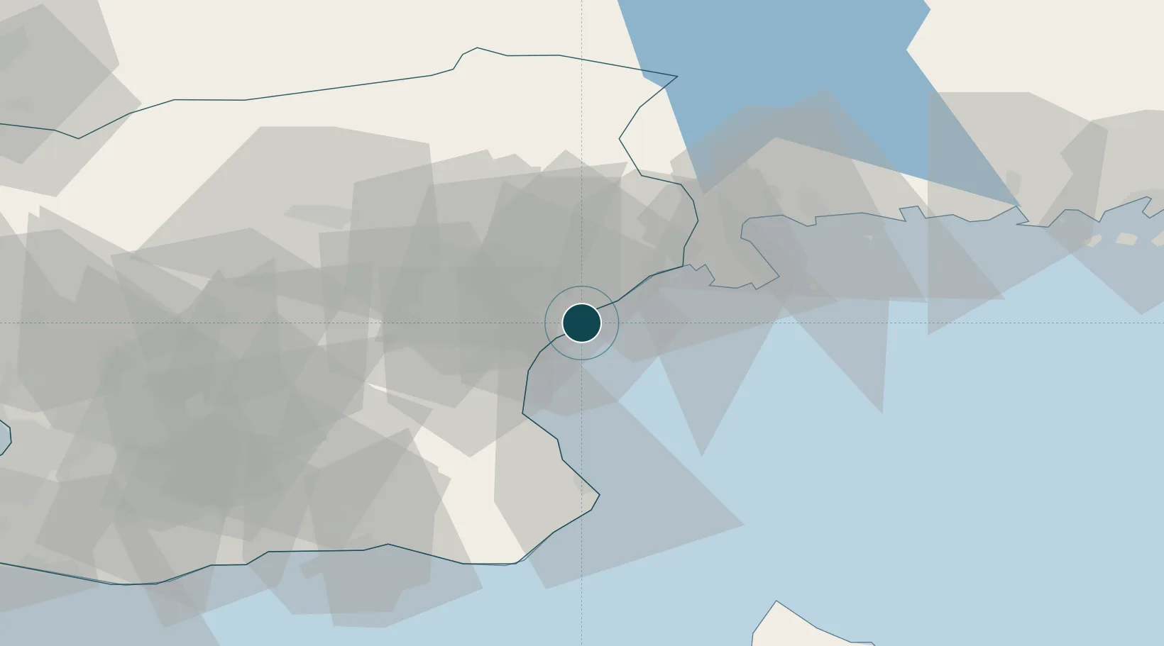
55.9275°, 14.3281°
7.9 m
Channel depth
1
Container terminals
20.6
Port liner connectivity
Channel & Berth Profile
Pilotage, Tugs & Services
Pilotage compulsoryYES
Pilotage availableYES
Tug assistanceYES
Potable waterYES
MedicalYES
Garbage disposalYES
Facilities & Capabilities
ContainerYES
Ro-RoNO
Liquid bulkNO
Dry bulkYES
Oil terminalNO
Break bulkYES
Dry dock—
RepairsNO
BunkeringYES
Rail link—
Dangerous cargo—
ISPS security—
Harbour Specifications
Harbour size
Small
Harbour type
River (Basins)
Shelter
Good
Water body
Baltic Sea; North Atlantic Ocean
Pilotage
Yes
Liner Connectivity
20.6
PLSCI
Port Liner Shipping Connectivity Index for Ahus, as published by UNCTAD for the latest available quarter. Higher values indicate stronger scheduled liner-shipping integration.
Shown relative to the highest per-port PLSCI in the dataset (1,657.9).
Location
Container Terminals · 1
AHUS CONTAINER TERMINAL
AHU AHUS HAMN STUVERI AB
Nearby Logistics Neighbours
Ports
- 1Solvesborg21 km
- 2Simrishamn41 km
- 3Karlshamn42 km
- 4Ystad65 km
- 5Ronneby66 km
Cities
- 1Sölvesborg19 km
- 2Östra Sönnarslöv20 km
- 3Nävlinge34 km
- 4Elleholm37 km
- 5Karlshamn40 km
Airports
- 1Kristianstad Airport15 km
- 2Ronneby Airport69 km
- 3Ljungbyhed Airfield72 km
- 4Malmö Sturup Airport74 km
- 5Bornholm Airport100 km
Trade Zones
- 1MTS Malmö Transport and Spedition85 km
- 2Freeport of Copenhagen- Nordhavn110 km
- 3Jönköping Free Zone205 km
- 4Swinoujscie Duty Free Zone226 km
- 5Słupsk SEZ (Słupska SSE)236 km
DatabookThe Record of Consolidated Knowledge
Sweden beyond logistics?