UN/LOCODE hub · Sweden
SEKAN
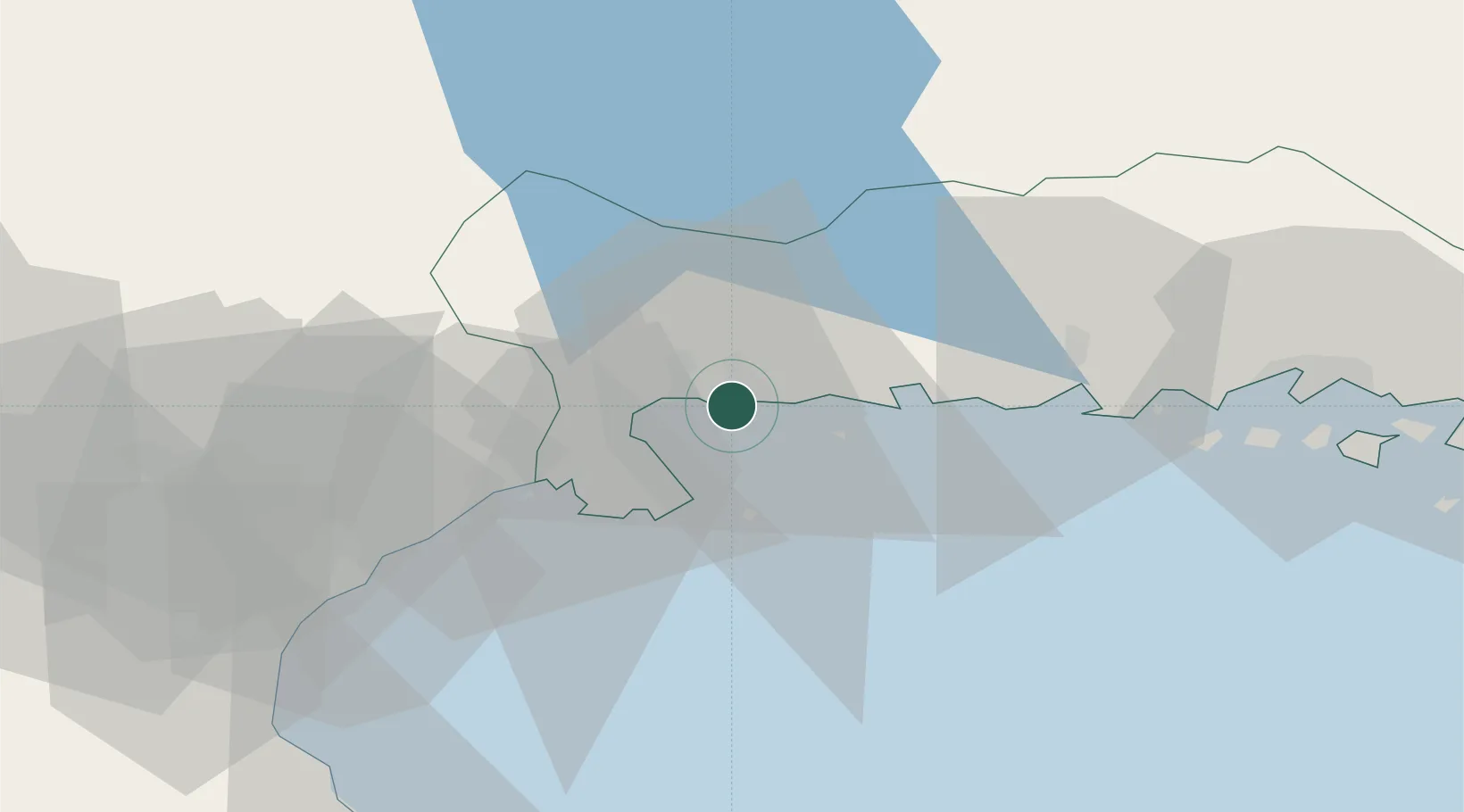
Karlshamn
56.1575°, 14.8203°
20,112
Population
3
Transport functions
1
Container terminals
Transport Functions
Port
Rail
Road
Hub Profile
Place type
Provincial seat
Region
Blekinge
Population
20,112
Time zone
Europe/Stockholm
Elevation
14 m
Logistics facilities
1
Container terminals
1
Location
Nearby Logistics Neighbours
Cities
- 1Elleholm5 km
- 2Sölvesborg21 km
- 3Ronnebyhamn30 km
- 4Kallinge30 km
- 5Ronneby30 km
Ports
- 1Solvesborg19 km
- 2Ronneby30 km
- 3Ahus40 km
- 4Karlskrona48 km
- 5Simrishamn73 km
Airports
- 1Ronneby Airport30 km
- 2Kristianstad Airport53 km
- 3Växjö Kronoberg Airport86 km
- 4Ljungbyhed Airfield100 km
- 5Kalmar Airport108 km
Trade Zones
DatabookThe Record of Consolidated Knowledge
Sweden beyond logistics?