Transport Functions
Port
Rail
Road
Hub Profile
Region
K
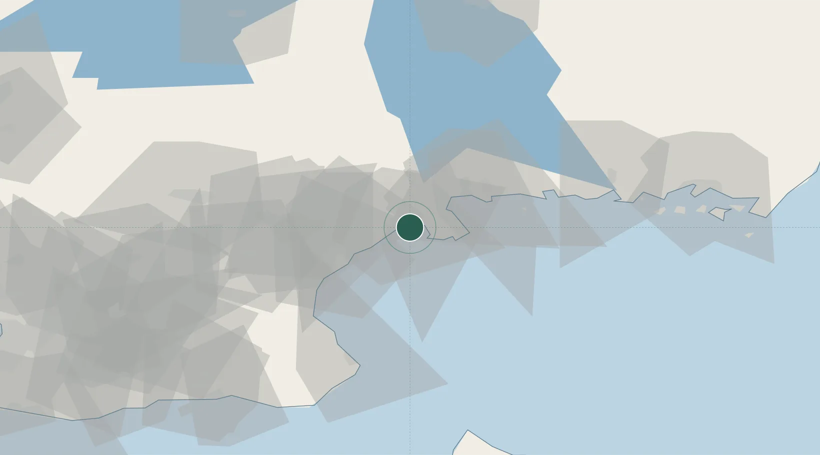
Location
Nearby Logistics Neighbours
Cities
- 1Elleholm18 km
- 2Åhus20 km
- 3Karlshamn21 km
- 4Östra Sönnarslöv38 km
- 5Lönsboda42 km
Ports
- 1Ahus19 km
- 2Karlshamn23 km
- 3Ronneby49 km
- 4Simrishamn56 km
- 5Karlskrona66 km
Airports
- 1Kristianstad Airport32 km
- 2Ronneby Airport50 km
- 3Ljungbyhed Airfield83 km
- 4Malmö Sturup Airport93 km
- 5Växjö Kronoberg Airport98 km
Trade Zones
- 1MTS Malmö Transport and Spedition104 km
- 2Freeport of Copenhagen- Nordhavn127 km
- 3Jönköping Free Zone193 km
- 4Słupsk SEZ (Słupska SSE)236 km
- 5Swinoujscie Duty Free Zone240 km
DatabookThe Record of Consolidated Knowledge
Sweden beyond logistics?