Transport Functions
Road
Multimodal
Hub Profile
Region
M
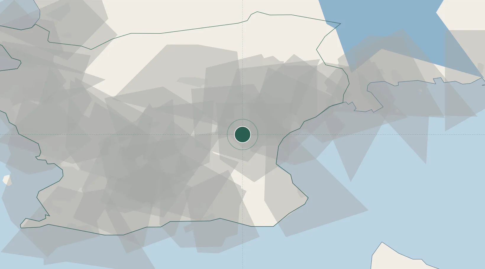
Location
Nearby Logistics Neighbours
Cities
- 1Åhus19 km
- 2Nävlinge23 km
- 3Löberöd34 km
- 4Finja38 km
- 5Sölvesborg38 km
Ports
- 1Ahus20 km
- 2Solvesborg40 km
- 3Simrishamn42 km
- 4Ystad53 km
- 5Karlshamn61 km
Airports
- 1Kristianstad Airport6 km
- 2Ljungbyhed Airfield55 km
- 3Malmö Sturup Airport56 km
- 4Ängelholm-Helsingborg Airport86 km
- 5Ronneby Airport88 km
Trade Zones
DatabookThe Record of Consolidated Knowledge
Sweden beyond logistics?