Transport Functions
Port
Road
Hub Profile
Place type
Populated place
Region
Blekinge
Time zone
Europe/Stockholm
Elevation
1 m
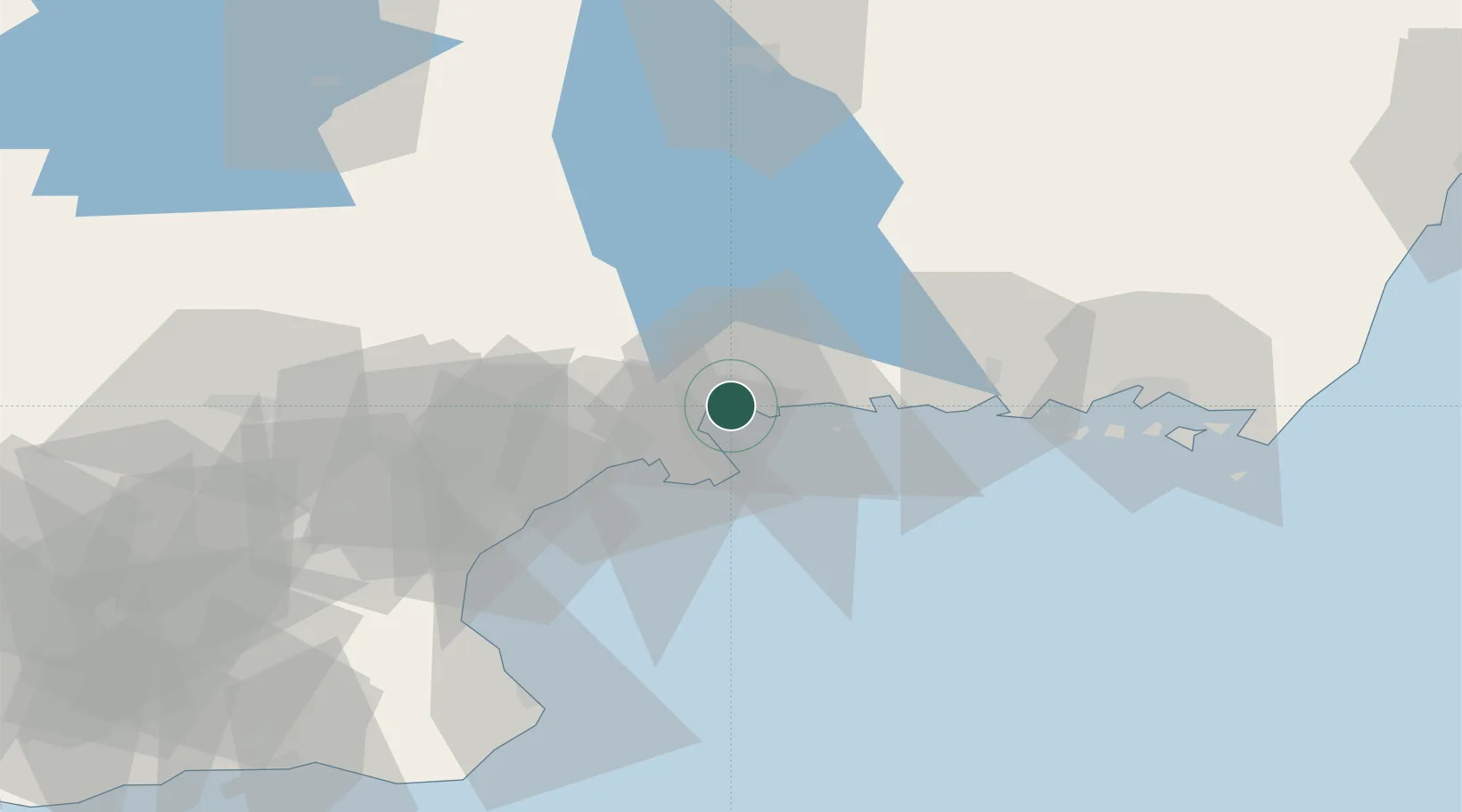
Location
Nearby Logistics Neighbours
Cities
- 1Karlshamn5 km
- 2Sölvesborg18 km
- 3Kallinge34 km
- 4Ronnebyhamn34 km
- 5Ronneby34 km
Ports
- 1Karlshamn8 km
- 2Solvesborg17 km
- 3Ronneby34 km
- 4Ahus37 km
- 5Karlskrona53 km
Airports
- 1Ronneby Airport34 km
- 2Kristianstad Airport49 km
- 3Växjö Kronoberg Airport85 km
- 4Ljungbyhed Airfield96 km
- 5Kalmar Airport111 km
Trade Zones
DatabookThe Record of Consolidated Knowledge
Sweden beyond logistics?