Transport Functions
Road
Multimodal
Hub Profile
Place type
Populated place
Region
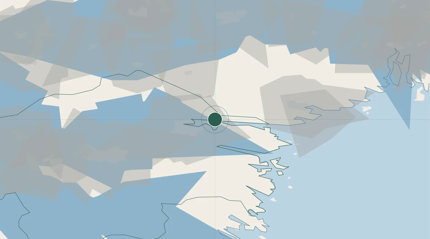
Östergötland
Population
5,053
Time zone
Europe/Stockholm
Elevation
45 m
Location
Nearby Logistics Neighbours
Cities
- 1Djurön5 km
- 2Bråviken9 km
- 3Norrköping11 km
- 4Stigtomta27 km
- 5Marviken28 km
Ports
- 1Norrkoping15 km
- 2Nykoping37 km
- 3Oxelosund41 km
- 4Sodertalje92 km
- 5Nynashamn94 km
Airports
- 1Norrköping Airport12 km
- 2Stockholm Skavsta Airport33 km
- 3Linköping City Airport51 km
- 4Malmen Air Base59 km
- 5Eskilstuna Airport78 km
Trade Zones
- 1Stockholm Free Zone124 km
- 2Jönköping Free Zone168 km
- 3Gothenburg Boundless Customs Warehouse289 km
- 4Free port of Ventspils333 km
- 5Liepāja SEZ381 km
DatabookThe Record of Consolidated Knowledge
Sweden beyond logistics?