Transport Functions
Rail
Road
Multimodal
Hub Profile
Place type
Populated place
Region
Östergötland
Population
1,469
Time zone
Europe/Stockholm
Elevation
44 m
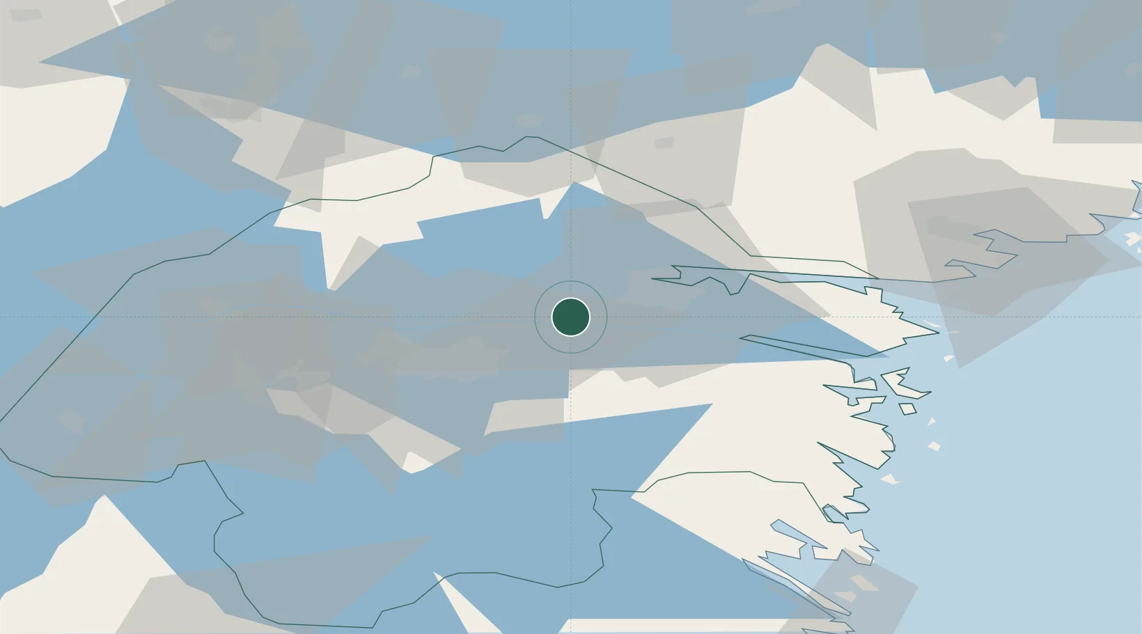
Location
Nearby Logistics Neighbours
Cities
- 1Norrköping18 km
- 2Djurön25 km
- 3Krokek29 km
- 4Bråviken35 km
- 5Ljusfallshammar39 km
Ports
- 1Norrkoping15 km
- 2Nykoping65 km
- 3Oxelosund68 km
- 4Vastervik94 km
- 5Verkeback95 km
Airports
- 1Norrköping Airport18 km
- 2Linköping City Airport22 km
- 3Malmen Air Base30 km
- 4Stockholm Skavsta Airport62 km
- 5Örebro Airport94 km
Trade Zones
- 1Jönköping Free Zone139 km
- 2Stockholm Free Zone153 km
- 3Gothenburg Boundless Customs Warehouse261 km
- 4Free port of Ventspils351 km
- 5MTS Malmö Transport and Spedition369 km
DatabookThe Record of Consolidated Knowledge
Sweden beyond logistics?