Transport Functions
Port
Hub Profile
Region
E
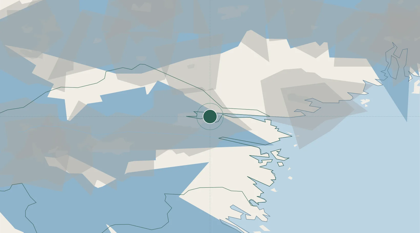
Location
Nearby Logistics Neighbours
Cities
- 1Krokek5 km
- 2Norrköping7 km
- 3Bråviken11 km
- 4Kimstad25 km
- 5Marviken30 km
Ports
- 1Norrkoping10 km
- 2Nykoping41 km
- 3Oxelosund45 km
- 4Sodertalje97 km
- 5Nynashamn98 km
Airports
- 1Norrköping Airport8 km
- 2Stockholm Skavsta Airport37 km
- 3Linköping City Airport46 km
- 4Malmen Air Base55 km
- 5Eskilstuna Airport82 km
Trade Zones
- 1Stockholm Free Zone129 km
- 2Jönköping Free Zone164 km
- 3Gothenburg Boundless Customs Warehouse285 km
- 4Free port of Ventspils334 km
- 5Liepāja SEZ381 km
DatabookThe Record of Consolidated Knowledge
Sweden beyond logistics?