UN/LOCODE hub · Sweden
SENRK

Norrköping

58.6206°, 16.2336°
4
Transport functions
1
Container terminals

Transport Functions

Port
Rail
Road
Airport
Norrköping is also a profiled seaport →
UN/LOCODE

Hub Profile

Region
E
GeoNames
Logistics facilities
6
UN/LOCODE
Container terminals
1
UN/LOCODE

Location

Location of SENRK
Natural Earth 10m (public domain) · E · SENRK · 58.62, 16.23GoogleOSMYandex

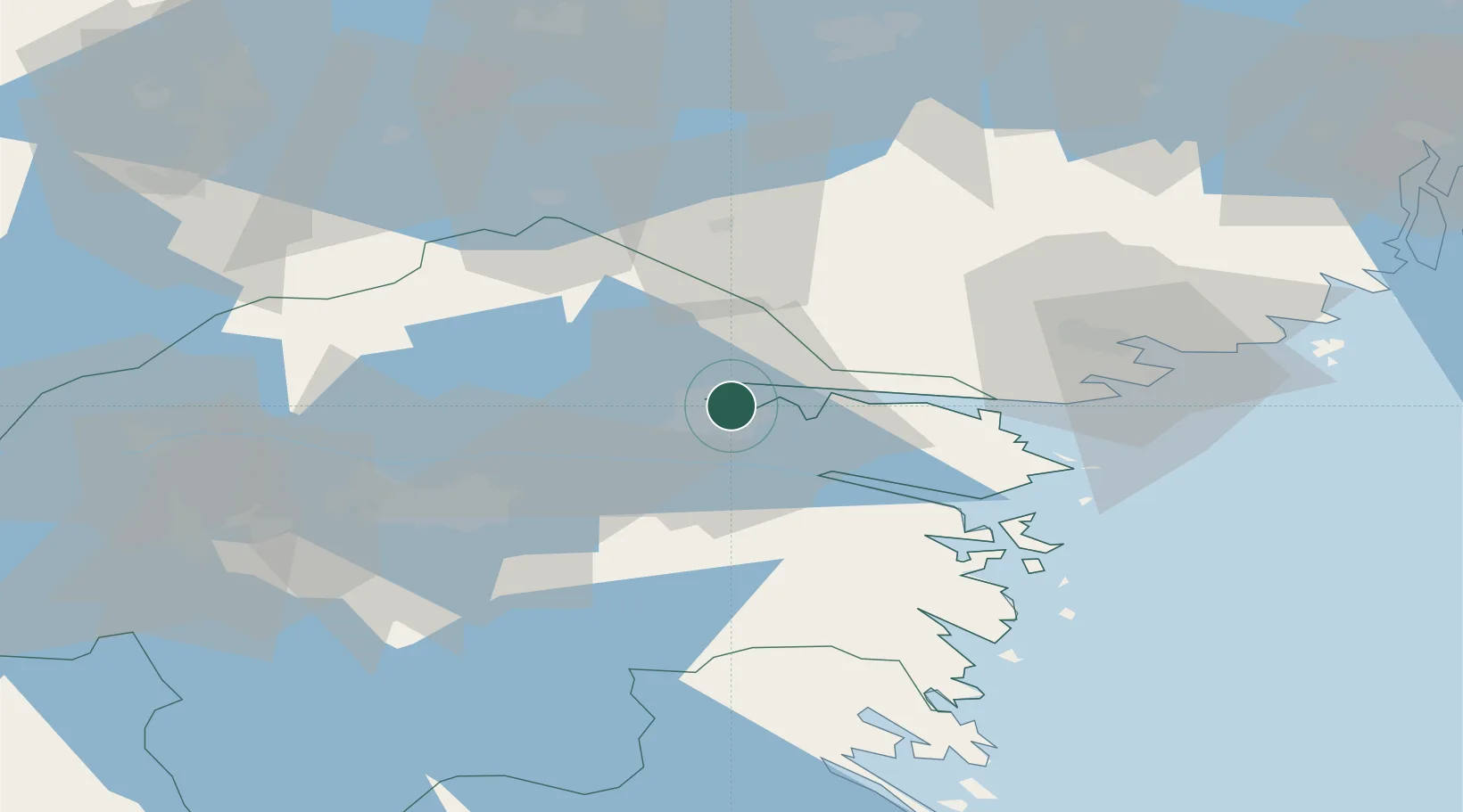
Nearby Logistics Neighbours

Cities
  1. 1Djurön7 km
  2. 2Krokek11 km
  3. 3Bråviken17 km
  4. 4Kimstad18 km
  5. 5Marviken36 km
Nearest neighbours — logibook spatial index (haversine) over the source coordinates
Ports
  1. 1Nykoping48 km
  2. 2Oxelosund51 km
  3. 3Vastervik98 km
  4. 4Verkeback100 km
  5. 5Sodertalje103 km
Nearest neighbours — logibook spatial index (haversine) over the source coordinates
Airports
  1. 1Norrköping Airport4 km
  2. 2Linköping City Airport40 km
  3. 3Stockholm Skavsta Airport43 km
  4. 4Malmen Air Base48 km
  5. 5Eskilstuna Airport86 km
Nearest neighbours — logibook spatial index (haversine) over the source coordinates
Trade Zones
  1. 1Stockholm Free Zone135 km
  2. 2Jönköping Free Zone157 km
  3. 3Gothenburg Boundless Customs Warehouse279 km
  4. 4Free port of Ventspils340 km
  5. 5Liepāja SEZ385 km
Nearest neighbours — logibook spatial index (haversine) over the source coordinates
DatabookThe Record of Consolidated Knowledge
Sweden beyond logistics?
Browse databook

All Sources

LocationsUN/LOCODE
UN/LOCODE — free
Portsthe NGA World Port Index
Public domain (US gov)
AirportsOurAirports
Public domain
Trade Zonesthe World Bank SEZ database
CC BY 4.0
Trade ZonesOpen Zone Map
CC BY
← Sweden locations