Transport Functions
Road
Multimodal
Hub Profile
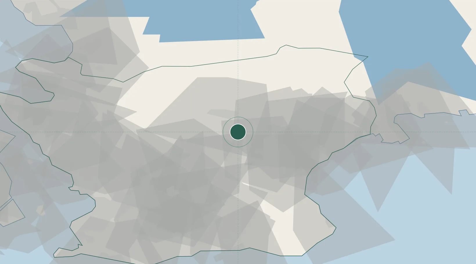
Place type
Populated place
Region
Skåne
Time zone
Europe/Stockholm
Elevation
139 m
Location
Nearby Logistics Neighbours
Cities
- 1Finja15 km
- 2Östra Sönnarslöv23 km
- 3Åhus34 km
- 4Löberöd38 km
- 5Sölvesborg45 km
Ports
- 1Ahus34 km
- 2Solvesborg47 km
- 3Karlshamn65 km
- 4Simrishamn65 km
- 5Landskrona67 km
Airports
- 1Kristianstad Airport23 km
- 2Ljungbyhed Airfield39 km
- 3Malmö Sturup Airport66 km
- 4Ängelholm-Helsingborg Airport66 km
- 5København Vandflyveplads88 km
Trade Zones
DatabookThe Record of Consolidated Knowledge
Sweden beyond logistics?