UN/LOCODE hub · Bahrain
BHAMH

Al Manamah

26.2333°, 50.5667°
2
Transport functions

Transport Functions

Road
Multimodal
Al Manamah is also a profiled seaport →
UN/LOCODE

Hub Profile

Region
13
GeoNames

Location

Location of BHAMH
Natural Earth 10m (public domain) · 13 · BHAMH · 26.23, 50.57GoogleOSMYandex

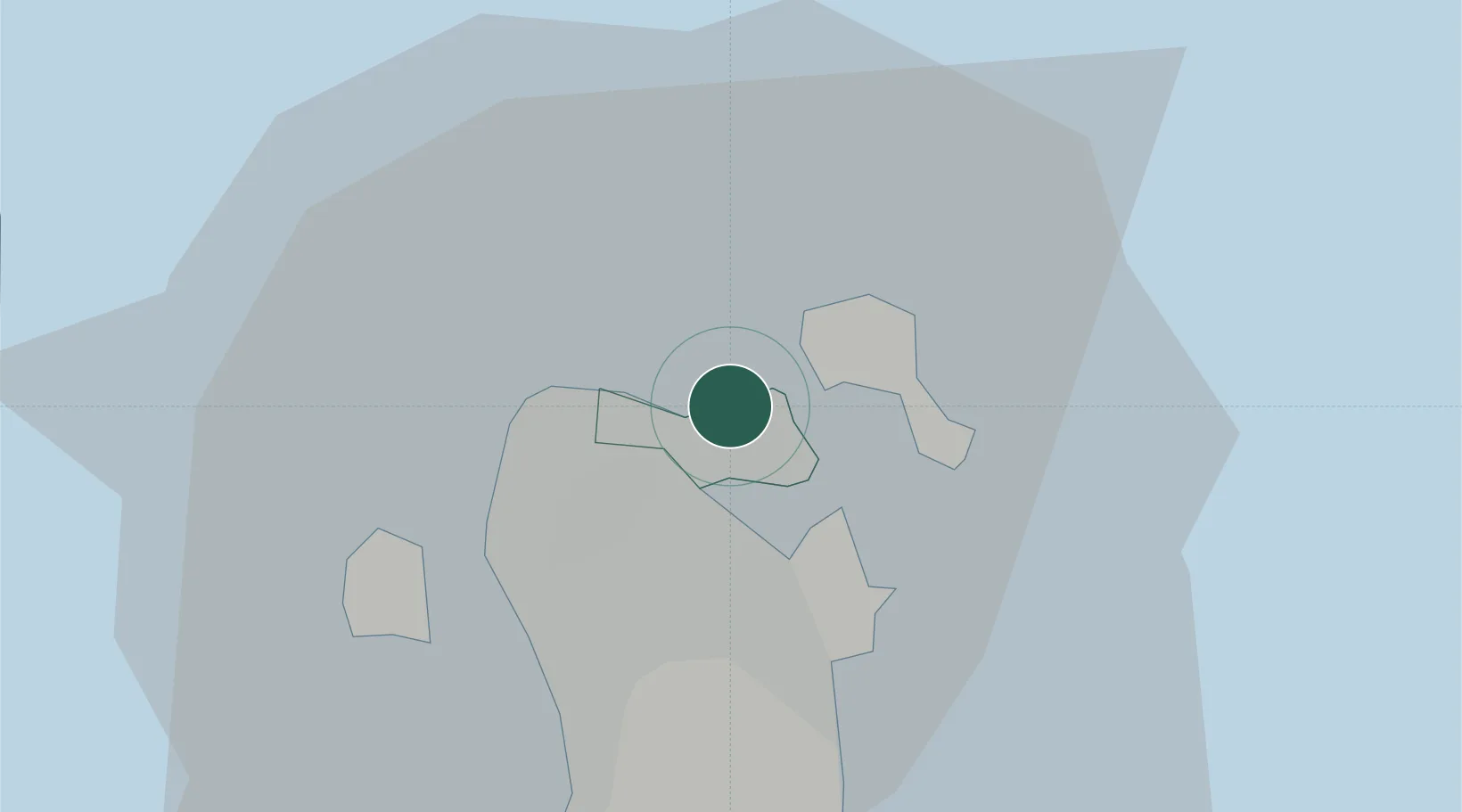
Nearby Logistics Neighbours

Cities
  1. 1Adliya3 km
  2. 2Al Muharraq4 km
  3. 3Umm al Hassam4 km
  4. 4Khalifa Bin Salman Port6 km
  5. 5Mina Sulman Port6 km
Nearest neighbours — logibook spatial index (haversine) over the source coordinates
Ports
  1. 1Mina Salman8 km
  2. 2Sitrah12 km
  3. 3Khalifa Bin Salman18 km
  4. 4Dammam47 km
  5. 5Ras Tannurah60 km
Nearest neighbours — logibook spatial index (haversine) over the source coordinates
Airports
  1. 1Bahrain International Airport8 km
  2. 2Sheik Isa Air Base35 km
  3. 3King Abdulaziz Air Base42 km
  4. 4Ras Tanura Airport76 km
  5. 5King Fahd International Airport81 km
Nearest neighbours — logibook spatial index (haversine) over the source coordinates
Trade Zones
  1. 1Bahrain International Airport7 km
  2. 2Bahrain Investment Wharf (BIW)10 km
  3. 3Bahrain International Investment Park11 km
  4. 4Bahrain Logistics Zone11 km
  5. 5Sheikh Khalifa Bin Salman Port (KBSP)15 km
Nearest neighbours — logibook spatial index (haversine) over the source coordinates
DatabookThe Record of Consolidated Knowledge
Bahrain beyond logistics?
Browse databook

All Sources

LocationsUN/LOCODE
UN/LOCODE — free
Portsthe NGA World Port Index
Public domain (US gov)
AirportsOurAirports
Public domain
Trade Zonesthe World Bank SEZ database
CC BY 4.0
Trade ZonesOpen Zone Map
CC BY
← Bahrain locations