Transport Functions
Rail
Road
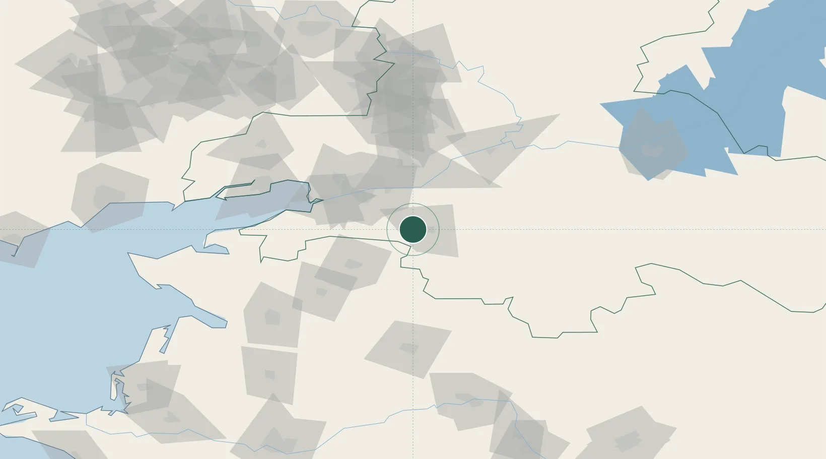
Hub Profile
Place type
Provincial seat
Region
Rostov
Population
6,848
Time zone
Europe/Moscow
Elevation
29 m
Location
Nearby Logistics Neighbours
Cities
- 1Aksay47 km
- 2Rostov-na-Donu52 km
- 3Bagaevskaya53 km
- 4Bessergenevskaya61 km
- 5Novoshakhtinsk100 km
Ports
- 1Rostov-Na-Donu47 km
- 2Azov60 km
- 3Taganrog98 km
- 4Yeysk144 km
- 5Mariupol198 km
Airports
- 1Rostov-on-Don Central Air Base60 km
- 2Platov International Airport72 km
- 3Taganrog Yuzhny Airport105 km
- 4Taganrog Tsentralny Air Base108 km
- 5Yeysk Airport149 km
Trade Zones
- 1Azov Economic Zone196 km
- 2Special Economic Zone Donetsk228 km
- 3North Caucasus Resort Cluster423 km
- 4Kulevi Free Industrial Zone525 km
- 5Poti Free Industrial Zone534 km
DatabookThe Record of Consolidated Knowledge
Russia beyond logistics?